Moanda night lights from space
Night Light of Moanda (Bas-Congo) from space (Democratic Republic of the Congo) Src. Average luminocity for 10x10km area is 51.3099% and for 50x50km: 12.3191%.
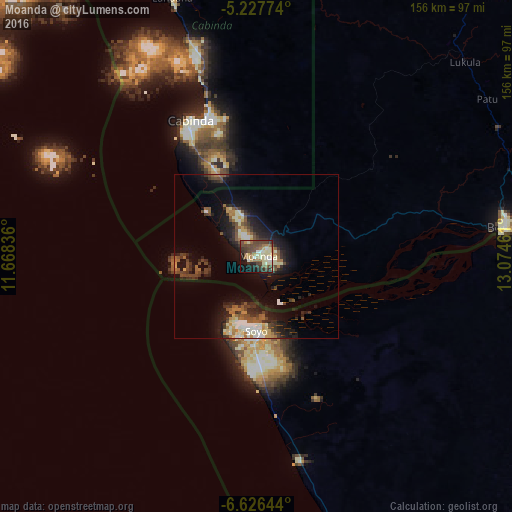
Analysis of Moanda night lights 2016
Square area 10x10 km:
 2.69%
2.69%90-99
12.4%80-89
9.71%70-79
5.58%60-69
7.23%50-59
7.02%40-49
19.21%30-39
9.71%20-29
8.26%10-19
14.05%0-9
4.13%Square area 50x50 km:
0.86%90-99
2.32%80-89
1.47%70-79
1.08%60-69
1.43%50-59
1.95%40-49
2.6%30-39
2.36%20-29
3.95%10-19
8.83%0-9
73.15%Clear (daylight) street map image can be seen on geolist.org.
Map coordinates:
5° 13' 39.9" South, 11° 40' 6.1" East
5° 55' 39.1" South, 12° 22' 17.3" East
6° 37' 35.2" South, 13° 4' 28.6" East
Some cities around Moanda sort by population:
• Pointe-Noire, CG
139.8 km =86.9 mi,  336°
336°
• Matadi
121.1 km =75.2 mi,  85°
85°
• Boma
75.9 km =47.2 mi,  83°
83°
• Soio, AO
23.1 km =14.4 mi,  180°
180°
• Cabinda, AO
46.1 km =28.6 mi, 335°
• Tshela
121.6 km =75.6 mi,  31°
31°
• Loandjili, CG
142.1 km =88.3 mi, 336°
• Loango, CG
154.7 km =96.1 mi, 336°
2312393 (p: 50,000)
Sources (retrieved 2019-11-25):
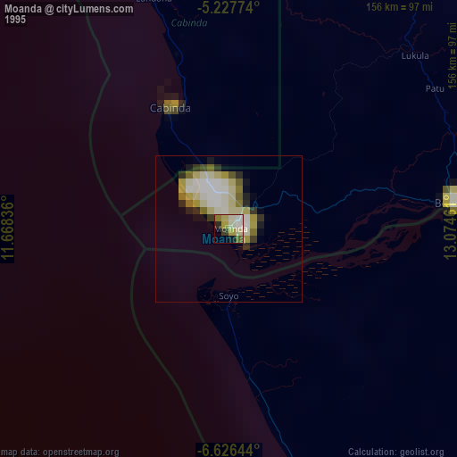
» NASA, Earths city lights 1995
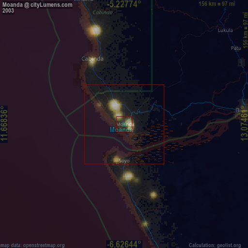
» NASA city lights 2003
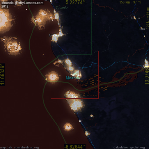
» Earth at Night: Flat Maps 2012, 2016