Impfondo night lights from space
Night Light of Impfondo (Likouala) from space (Republic of the Congo) Src. Average luminocity for 10x10km area is 0% and for 50x50km: 0%.
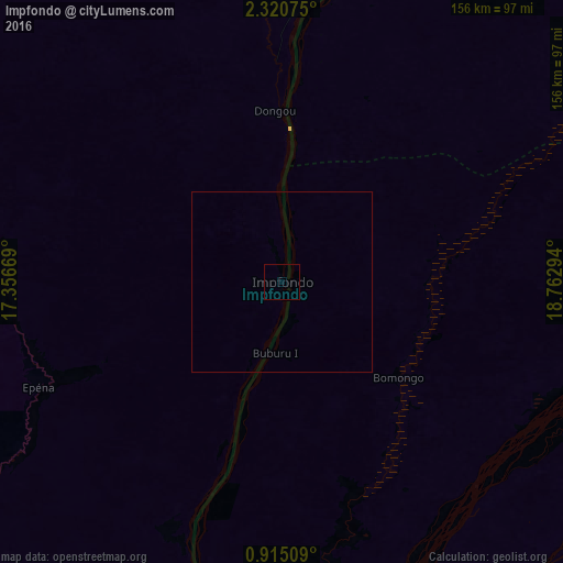
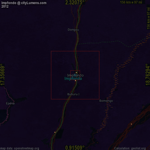
Analysis of Impfondo night lights 2016
Square area 10x10 km:
 0%
0%90-99
0%80-89
0%70-79
0%60-69
0%50-59
0%40-49
0%30-39
0%20-29
0%10-19
0%0-9
100%Square area 50x50 km:
0%90-99
0%80-89
0%70-79
0%60-69
0%50-59
0%40-49
0%30-39
0%20-29
0%10-19
0%0-9
100%Clear (daylight) street map image can be seen on geolist.org.
Map coordinates:
2° 19' 14.7" North, 17° 21' 24.1" East
1° 37' 4.9" North, 18° 3' 35.3" East
0° 54' 54.3" North, 18° 45' 46.6" East
Some cities around Impfondo sort by population:
• Mbandaka, CD
175.9 km =109.3 mi,  172°
172°
• Bimbo, CF
296 km =183.9 mi,  7°
7°
• Gemena, CD
263.4 km =163.7 mi,  46°
46°
• Mbaïki, CF
250.3 km =155.5 mi,  358°
358°
• Libenge, CD
235.2 km =146.1 mi,  15°
15°
• Ouésso
223.2 km =138.7 mi,  269°
269°
• Boda, CF
307.4 km =191 mi,  347°
347°
• Mongoumba, CF
232.7 km =144.6 mi, 14°
2259655 (p: 20,859)
Sources (retrieved 2019-11-25):
» Earth at Night: Flat Maps 2012, 2016