Matadi night lights from space
Night Light of Matadi (Bas-Congo) from space (Democratic Republic of the Congo) Src. Average luminocity for 10x10km area is 44.4897% and for 50x50km: 2.4924%.
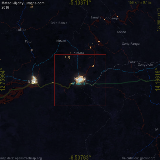
Analysis of Matadi night lights 2016
Square area 10x10 km:
 8.26%
8.26%90-99
8.26%80-89
8.88%70-79
5.99%60-69
2.89%50-59
4.13%40-49
5.79%30-39
4.96%20-29
6.82%10-19
39.26%0-9
4.75%Square area 50x50 km:
0.34%90-99
0.34%80-89
0.5%70-79
0.29%60-69
0.15%50-59
0.24%40-49
0.36%30-39
0.22%20-29
0.33%10-19
2.55%0-9
94.67%Clear (daylight) street map image can be seen on geolist.org.
Map coordinates:
5° 8' 19.4" South, 12° 45' 35.8" East
5° 50' 19" South, 13° 27' 47" East
6° 32' 15.5" South, 14° 9' 58.3" East
Some cities around Matadi sort by population:
• Boma
45.3 km =28.1 mi,  268°
268°
• Mbanza-Ngungu
167.4 km =104 mi,  67°
67°
• Soio, AO
125.4 km =77.9 mi,  254°
254°
• Cabinda, AO
143.4 km =89.1 mi,  282°
282°
• Moanda
121.1 km =75.2 mi, 265°
• Tshela
109.5 km =68 mi,  328°
328°
• Mbanza Congo, AO
98.2 km =61 mi,  119°
119°
• N'zeto, AO
168.3 km =104.6 mi,  203°
203°
2313002 (p: 180,109)
Sources (retrieved 2019-11-25):
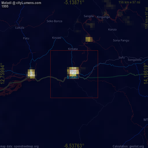
» NASA, Earths city lights 1995
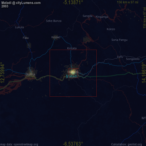
» NASA city lights 2003
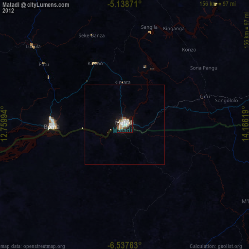
» Earth at Night: Flat Maps 2012, 2016