Bosobolo night lights from space
Night Light of Bosobolo (Nord-Ubangi) from space (Democratic Republic of the Congo) Src. Average luminocity for 10x10km area is 0% and for 50x50km: 0%.
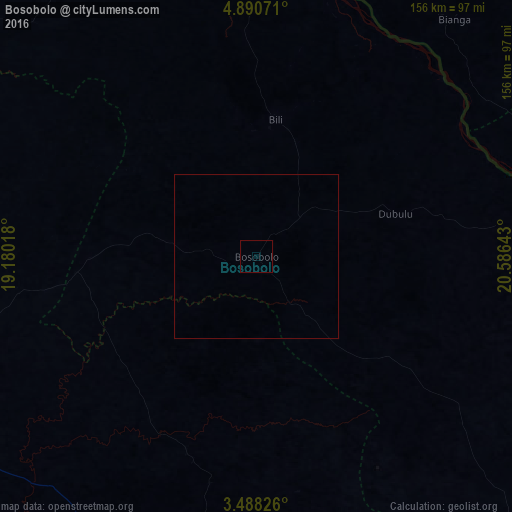
Analysis of Bosobolo night lights 2016
Square area 10x10 km:
 0%
0%90-99
0%80-89
0%70-79
0%60-69
0%50-59
0%40-49
0%30-39
0%20-29
0%10-19
0%0-9
100%Square area 50x50 km:
0%90-99
0%80-89
0%70-79
0%60-69
0%50-59
0%40-49
0%30-39
0%20-29
0%10-19
0%0-9
100%Clear (daylight) street map image can be seen on geolist.org.
Map coordinates:
4° 53' 26.6" North, 19° 10' 48.6" East
4° 11' 23.3" North, 19° 52' 59.9" East
3° 29' 17.7" North, 20° 35' 11.1" East
Some cities around Bosobolo sort by population:
• Bangui, CF
148.5 km =92.3 mi,  277°
277°
• Gemena
104.5 km =64.9 mi,  186°
186°
• Gbadolite
124.5 km =77.4 mi,  85°
85°
• Businga
146 km =90.7 mi,  130°
130°
• Libenge
150.7 km =93.6 mi,  246°
246°
• Mobaye, CF
144.3 km =89.7 mi,  84°
84°
• Mongoumba, CF
155.5 km =96.6 mi, 246°
• Kouango, CF
89.8 km =55.8 mi,  5°
5°
2316473 (p: 14,553)
Sources (retrieved 2019-11-25):
» Earth at Night: Flat Maps 2012, 2016