Mongoumba night lights from space
Night Light of Mongoumba (Lobaye) from space (Central African Republic) Src. Average luminocity for 10x10km area is 0.6234% and for 50x50km: 0.0958%.
Analysis of Mongoumba night lights 2016
Square area 10x10 km:
 0%
0%90-99
0%80-89
0%70-79
0.22%60-69
0.43%50-59
0.22%40-49
0%30-39
0%20-29
0%10-19
0%0-9
99.13%Square area 50x50 km:
0%90-99
0%80-89
0%70-79
0.01%60-69
0.09%50-59
0.04%40-49
0%30-39
0%20-29
0%10-19
0%0-9
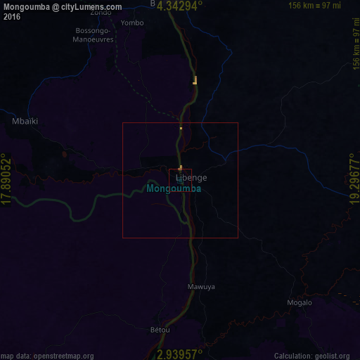
99.86%Clear (daylight) street map image can be seen on geolist.org.
Map coordinates:
4° 20' 34.6" North, 17° 53' 25.9" East
3° 38' 29.5" North, 18° 35' 37.1" East
2° 56' 22.5" North, 19° 17' 48.4" East
Some cities around Mongoumba sort by population:
• Bangui
80.1 km =49.8 mi,  356°
356°
• Bimbo
71.2 km =44.2 mi,  343°
343°
• Gemena, CD
137.6 km =85.5 mi,  108°
108°
• Mbaïki
71.6 km =44.5 mi,  290°
290°
• Libenge, CD
4.8 km =3 mi,  74°
74°
• Damara
147.2 km =91.5 mi,  4°
4°
• Boda
145.7 km =90.5 mi,  301°
301°
• Boali
138.8 km =86.2 mi, 338°
2384377 (p: 10,885)
Sources (retrieved 2019-11-25):
» Earth at Night: Flat Maps 2012, 2016