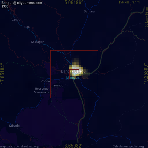
Bangui night lights from space
Night Light of Bangui from space (Central African Republic) Src. Average luminocity for 10x10km area is 19.4221% and for 50x50km: 0.9992%.
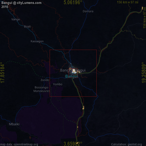

Analysis of Bangui night lights 2016
Square area 10x10 km:
 2.81%
2.81%90-99
3.25%80-89
1.95%70-79
0.43%60-69
4.98%50-59
1.52%40-49
2.16%30-39
3.68%20-29
3.68%10-19
10.61%0-9
64.94%Square area 50x50 km:
0.11%90-99
0.13%80-89
0.13%70-79
0.02%60-69
0.21%50-59
0.08%40-49
0.09%30-39
0.24%20-29
0.23%10-19
0.42%0-9
98.34%Clear (daylight) street map image can be seen on geolist.org.
Map coordinates:
5° 3' 43.1" North, 17° 51' 6.6" East
4° 21' 40.4" North, 18° 33' 17.9" East
3° 39' 35.4" North, 19° 15' 29.1" East
Some cities around Bangui sort by population:
• Bimbo
19.3 km =12 mi,  233°
233°
• Mbaïki
83.3 km =51.8 mi, 228°
• Libenge, CD
79.2 km =49.2 mi,  173°
173°
• Damara
68.7 km =42.7 mi,  13°
13°
• Boda
120.4 km =74.8 mi,  267°
267°
• Bosobolo, CD
148.5 km =92.3 mi,  97°
97°
• Mongoumba
80.1 km =49.8 mi,  176°
176°
• Boali
68 km =42.3 mi,  315°
315°
2389853 (p: 542,393)
Sources (retrieved 2019-11-25):
» NASA, Earths city lights 1995
» NASA city lights 2003
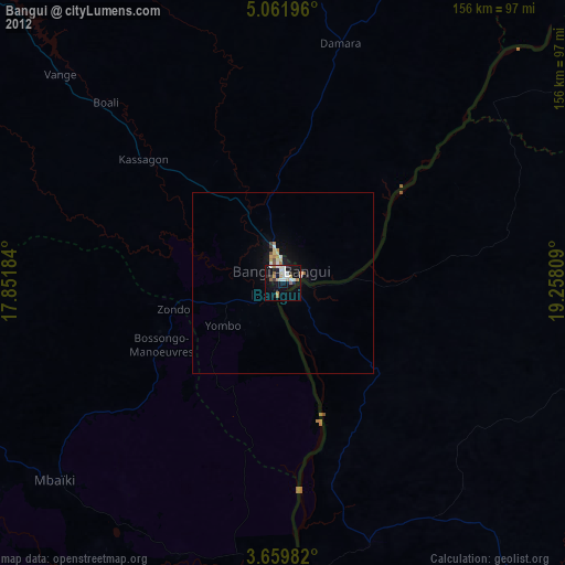
» Earth at Night: Flat Maps 2012, 2016