Wainwright night lights from space
Night Light of Wainwright (Alberta) from space (Canada) Src. Average luminocity for 10x10km area is 10.0316% and for 50x50km: 0.4445%.
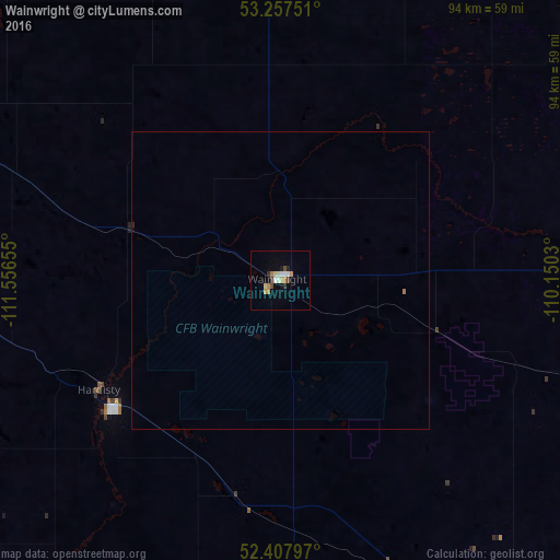
Analysis of Wainwright night lights 2016
Square area 10x10 km:
 1.14%
1.14%90-99
1.39%80-89
1.52%70-79
2.4%60-69
1.14%50-59
0%40-49
1.52%30-39
1.14%20-29
0.76%10-19
0.76%0-9
88.26%Square area 50x50 km:
0.05%90-99
0.06%80-89
0.06%70-79
0.1%60-69
0.07%50-59
0%40-49
0.06%30-39
0.05%20-29
0.04%10-19
0.03%0-9
99.49%Clear (daylight) street map image can be seen on geolist.org.
Map coordinates:
53° 15' 27" North, 111° 33' 23.6" West
52° 50' 5.4" North, 110° 51' 12.3" West
52° 24' 28.7" North, 110° 9' 1.1" West
Some cities around Wainwright sort by population:
• Lloydminster
73.8 km =45.9 mi,  48°
48°
• North Battleford
171.9 km =106.8 mi,  92°
92°
• Camrose
134.4 km =83.5 mi,  278°
278°
• Wetaskiwin
169.3 km =105.2 mi,  274°
274°
• Bonnyville
159.4 km =99 mi,  2°
2°
• St. Paul
130.9 km =81.3 mi,  347°
347°
• Vegreville
108.9 km =67.7 mi,  312°
312°
• Stettler
138.6 km =86.1 mi,  245°
245°
6175059 (p: 5,380)
Sources (retrieved 2019-11-25):
» Earth at Night: Flat Maps 2012, 2016