Camrose night lights from space
Night Light of Camrose (Alberta) from space (Canada) Src. Average luminocity for 10x10km area is 19.9775% and for 50x50km: 0.8538%.
Analysis of Camrose night lights 2016
Square area 10x10 km:
 3.17%
3.17%90-99
4.1%80-89
1.19%70-79
1.59%60-69
3.57%50-59
1.72%40-49
3.17%30-39
1.98%20-29
0.4%10-19
18.39%0-9
60.71%Square area 50x50 km:
0.12%90-99
0.16%80-89
0.05%70-79
0.06%60-69
0.14%50-59
0.07%40-49
0.15%30-39
0.08%20-29
0.04%10-19
0.74%0-9
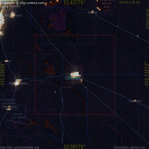
98.4%Clear (daylight) street map image can be seen on geolist.org.
Map coordinates:
53° 26' 15.9" North, 113° 32' 18.2" West
53° 1' 0.6" North, 112° 50' 6.9" West
52° 35' 30.4" North, 112° 7' 55.7" West
Some cities around Camrose sort by population:
• Sherwood Park
64.2 km =39.9 mi,  329°
329°
• Leduc
55.3 km =34.4 mi,  300°
300°
• Wetaskiwin
36.1 km =22.4 mi,  261°
261°
• Silver Berry
61 km =37.9 mi,  323°
323°
• Wild Rose
62.2 km =38.6 mi, 324°
• Beaumont
53.7 km =33.4 mi,  313°
313°
• Ponoka
62.8 km =39 mi,  232°
232°
• Devon
71.5 km =44.4 mi, 302°
5914653 (p: 15,686)
Sources (retrieved 2019-11-25):
» Earth at Night: Flat Maps 2012, 2016