Wetaskiwin night lights from space
Night Light of Wetaskiwin (Alberta) from space (Canada) Src. Average luminocity for 10x10km area is 13.2751% and for 50x50km: 0.7133%.
Analysis of Wetaskiwin night lights 2016
Square area 10x10 km:
 1.46%
1.46%90-99
2.65%80-89
0.79%70-79
2.38%60-69
0.93%50-59
2.51%40-49
2.12%30-39
1.85%20-29
0.13%10-19
3.97%0-9
81.22%Square area 50x50 km:
0.06%90-99
0.1%80-89
0.04%70-79
0.13%60-69
0.08%50-59
0.18%40-49
0.12%30-39
0.13%20-29
0.03%10-19
0.2%0-9
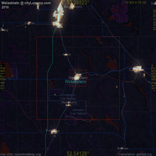
98.93%Clear (daylight) street map image can be seen on geolist.org.
Map coordinates:
53° 23' 17.6" North, 114° 4' 18.6" West
52° 58' 0.6" North, 113° 22' 7.3" West
52° 32' 28.6" North, 112° 39' 56.1" West
Some cities around Wetaskiwin sort by population:
• Camrose
36.1 km =22.4 mi,  81°
81°
• Leduc
35.5 km =22.1 mi,  339°
339°
• Lacombe
60.8 km =37.8 mi,  203°
203°
• Silver Berry
54.6 km =33.9 mi,  359°
359°
• Wild Rose
56 km =34.8 mi, 359°
• Beaumont
42.7 km =26.5 mi, 355°
• Ponoka
35.3 km =21.9 mi, 203°
• Devon
50.7 km =31.5 mi,  331°
331°
6179602 (p: 11,302)
Sources (retrieved 2019-11-25):
» Earth at Night: Flat Maps 2012, 2016