Thunder Bay night lights from space
Night Light of Thunder Bay (Ontario) from space (Canada) Src. Average luminocity for 10x10km area is 12.7286% and for 50x50km: 30.99%.
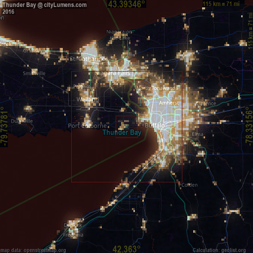

Analysis of Thunder Bay night lights 2016
Square area 10x10 km:
 0%
0%90-99
0%80-89
0.95%70-79
1.9%60-69
2.38%50-59
2.22%40-49
4.29%30-39
2.22%20-29
3.81%10-19
7.3%0-9
74.92%Square area 50x50 km:
7.04%90-99
6.43%80-89
3.47%70-79
3.78%60-69
4.19%50-59
3.85%40-49
4.17%30-39
4.58%20-29
6.11%10-19
10.17%0-9
46.21%Clear (daylight) street map image can be seen on geolist.org.
Map coordinates:
43° 23' 36.5" North, 79° 44' 16.1" West
42° 52' 49.4" North, 79° 2' 4.8" West
42° 21' 46.8" North, 78° 19' 53.6" West
Some cities around Thunder Bay sort by population:
• Buffalo, US
12.8 km =8 mi,  86°
86°
• West Seneca, US
19.4 km =12.1 mi,  99°
99°
• Grand Island, US
18 km =11.2 mi,  19°
19°
• Port Colborne
16.3 km =10.1 mi,  277°
277°
• Lackawanna, US
18.3 km =11.4 mi,  109°
109°
• Fort Erie
8.6 km =5.3 mi,  75°
75°
• Kenmore, US
16.4 km =10.2 mi,  54°
54°
• Tonawanda, US
20 km =12.4 mi,  38°
38°
6166140 (p: 93,952)
Sources (retrieved 2019-11-25):
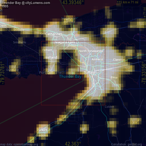
» NASA, Earths city lights 1995
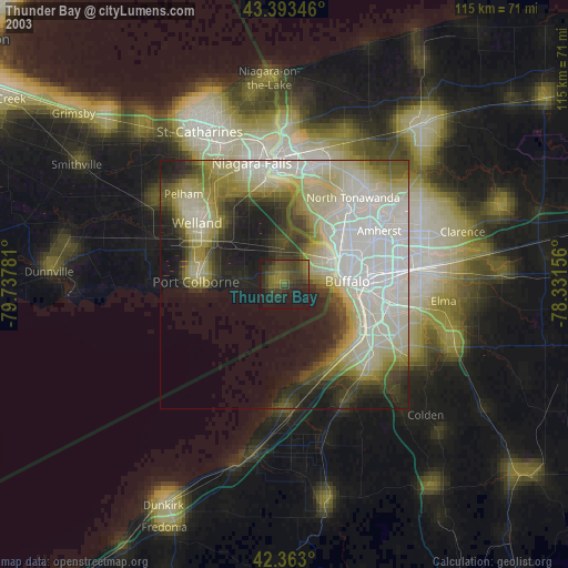
» NASA city lights 2003
» Earth at Night: Flat Maps 2012, 2016