Brooks night lights from space
Night Light of Brooks (Alberta) from space (Canada) Src. Average luminocity for 10x10km area is 18.9505% and for 50x50km: 0.9699%.
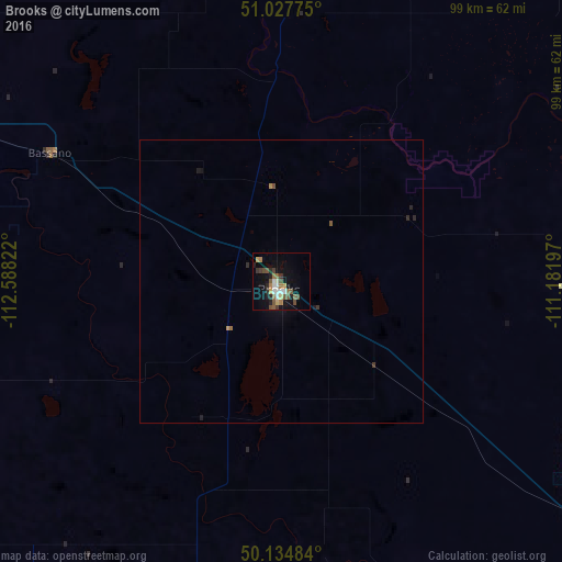
Analysis of Brooks night lights 2016
Square area 10x10 km:
 1.87%
1.87%90-99
2.94%80-89
1.47%70-79
1.34%60-69
3.07%50-59
4.28%40-49
4.01%30-39
2.41%20-29
3.74%10-19
13.64%0-9
61.23%Square area 50x50 km:
0.08%90-99
0.12%80-89
0.06%70-79
0.1%60-69
0.15%50-59
0.2%40-49
0.19%30-39
0.15%20-29
0.24%10-19
0.65%0-9
98.08%Clear (daylight) street map image can be seen on geolist.org.
Map coordinates:
51° 1' 39.9" North, 112° 35' 17.6" West
50° 35' 0.3" North, 111° 53' 6.3" West
50° 8' 5.4" North, 111° 10' 55.1" West
Some cities around Brooks sort by population:
• Calgary
163 km =101.3 mi,  288°
288°
• Lethbridge
118.6 km =73.7 mi,  214°
214°
• Medicine Hat
105 km =65.2 mi,  125°
125°
• Okotoks
148.7 km =92.4 mi,  276°
276°
• Strathmore
117.5 km =73 mi,  296°
296°
• High River
140 km =87 mi,  270°
270°
• Taber
90.5 km =56.2 mi,  191°
191°
• Coaldale
109.6 km =68.1 mi, 208°
5909514 (p: 12,744)
Sources (retrieved 2019-11-25):
» Earth at Night: Flat Maps 2012, 2016