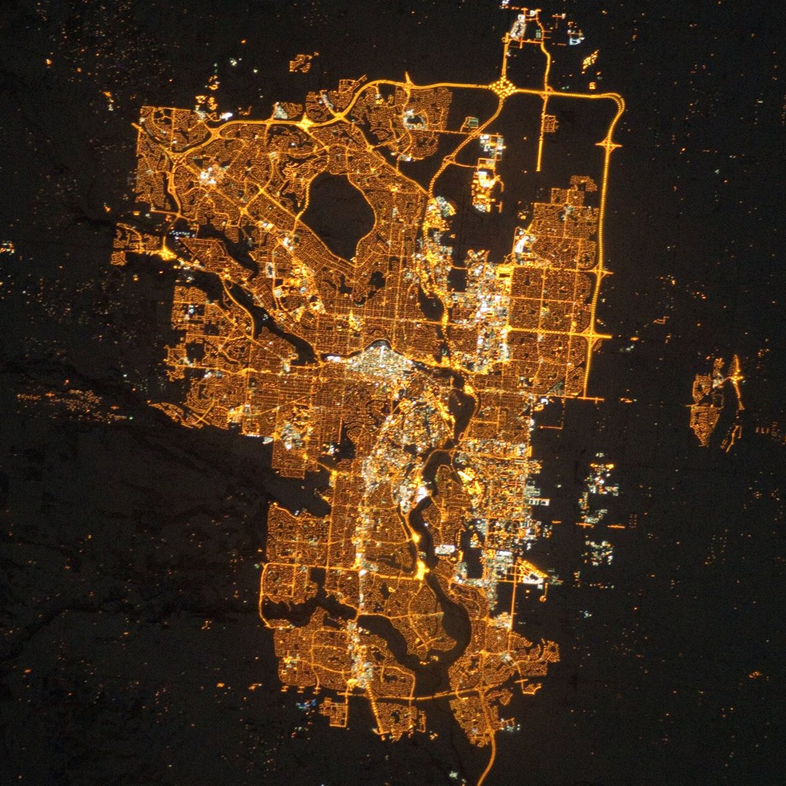
Calgary night lights from space
Night Light of Calgary (Alberta) from space (Canada) Src. Average luminocity for 10x10km area is 96.5869% and for 50x50km: 28.5523%.
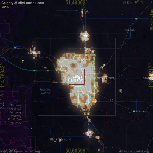
Analysis of Calgary night lights 2016
Square area 10x10 km:
 48.13%
90-99
37.57%80-89
12.03%70-79
2.14%60-69
0.13%50-59
0%40-49
0%30-39
0%20-29
0%10-19
0%0-9
0%Square area 50x50 km:
7.05%90-99
7.59%80-89
3.06%70-79
4.73%60-69
3.51%50-59
2.56%40-49
1.68%30-39
2.13%20-29
4.89%10-19
8.14%0-9
54.66%Clear (daylight) street map image can be seen on geolist.org.
Map coordinates:
51° 29' 24.1" North, 114° 47' 18.3" West
51° 3' 0.4" North, 114° 5' 7" West
50° 36' 21.6" North, 113° 22' 55.8" West
Fantastic image of Calgary from space taken by astronauts [src2], but I don't have information about it's orientation, scale or angle. If necessary, it was rotated manually, so North points approximately to upper direction. Click to zoom in:
Some cities around Calgary sort by population:
• Airdrie
28 km =17.4 mi,  7°
7°
• Cochrane
30.6 km =19 mi,  298°
298°
• Okotoks
36.4 km =22.6 mi,  168°
168°
• Strathmore
48.9 km =30.4 mi,  90°
90°
• Canmore
88.6 km =55.1 mi,  272°
272°
• High River
54.1 km =33.6 mi,  163°
163°
• Olds
81.5 km =50.6 mi,  359°
359°
• Banff
104.6 km =65 mi,  277°
277°
5913490 (p: 1,019,942)
Sources (retrieved 2019-11-25):
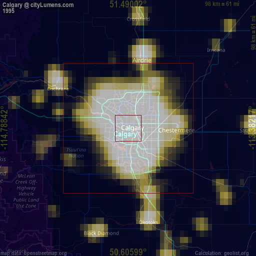
» NASA, Earths city lights 1995
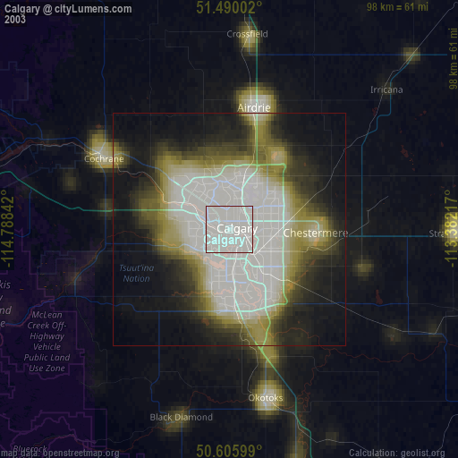
» NASA city lights 2003
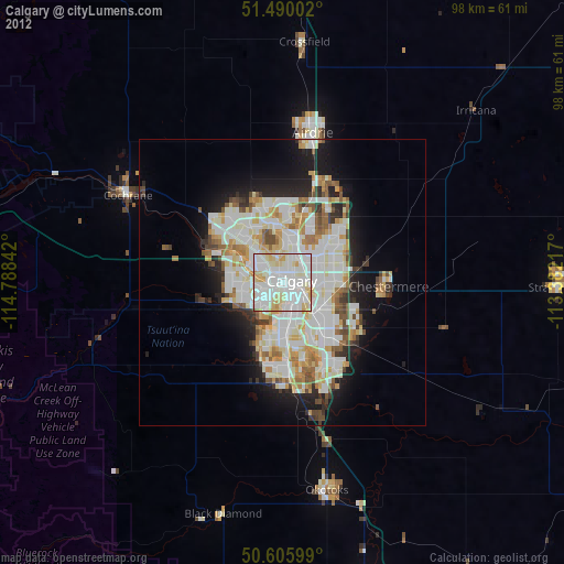
» Earth at Night: Flat Maps 2012, 2016
Src.2: NASA.gov