Sydney Mines night lights from space
Night Light of Sydney Mines (Nova Scotia) from space (Canada) Src. Average luminocity for 10x10km area is 17.9658% and for 50x50km: 4.3217%.
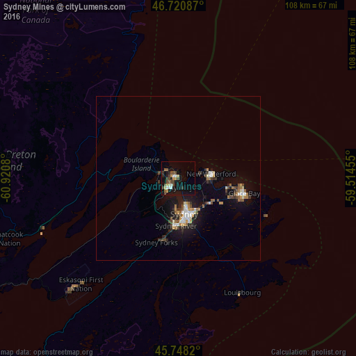
Analysis of Sydney Mines night lights 2016
Square area 10x10 km:
 1.93%
1.93%90-99
1.64%80-89
1.93%70-79
2.68%60-69
0.89%50-59
3.72%40-49
5.36%30-39
1.34%20-29
2.53%10-19
19.79%0-9
58.18%Square area 50x50 km:
0.52%90-99
0.65%80-89
0.21%70-79
0.52%60-69
0.58%50-59
0.61%40-49
0.67%30-39
0.56%20-29
0.88%10-19
4.06%0-9
90.74%Clear (daylight) street map image can be seen on geolist.org.
Map coordinates:
46° 43' 15.1" North, 60° 55' 14.9" West
46° 14' 12.1" North, 60° 13' 3.6" West
45° 44' 53.5" North, 59° 30' 52.4" West
Some cities around Sydney Mines sort by population:
• Charlottetown
224.3 km =139.4 mi,  270°
270°
• Truro
255.3 km =158.6 mi,  247°
247°
• Glace Bay
20.5 km =12.7 mi,  102°
102°
• New Glasgow
201.6 km =125.3 mi, 248°
• Summerside
274.7 km =170.7 mi, 273°
• Stephenville
285.2 km =177.2 mi,  25°
25°
• Princeville
98.5 km =61.2 mi,  237°
237°
• Antigonish
154 km =95.7 mi, 243°
7303783 (p: 7,312)
Sources (retrieved 2019-11-25):
» Earth at Night: Flat Maps 2012, 2016