Glace Bay night lights from space
Night Light of Glace Bay (Nova Scotia) from space (Canada) Src. Average luminocity for 10x10km area is 18.4574% and for 50x50km: 4.2191%.
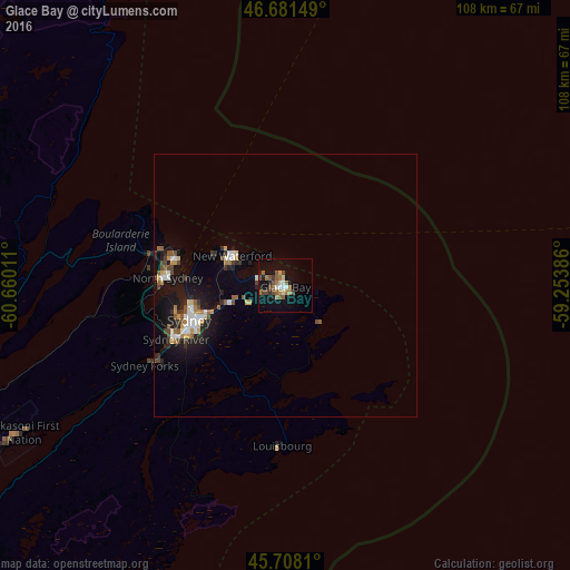
Analysis of Glace Bay night lights 2016
Square area 10x10 km:
 1.56%
1.56%90-99
2.56%80-89
0.43%70-79
1.28%60-69
5.97%50-59
4.12%40-49
3.41%30-39
1.85%20-29
1.99%10-19
14.49%0-9
62.36%Square area 50x50 km:
0.52%90-99
0.64%80-89
0.21%70-79
0.51%60-69
0.58%50-59
0.63%40-49
0.65%30-39
0.5%20-29
0.87%10-19
3.97%0-9
90.93%Clear (daylight) street map image can be seen on geolist.org.
Map coordinates:
46° 40' 53.4" North, 60° 39' 36.4" West
46° 11' 49" North, 59° 57' 25.1" West
45° 42' 29.2" North, 59° 15' 13.9" West
Some cities around Glace Bay sort by population:
• Sydney
18.7 km =11.6 mi,  248°
248°
• Charlottetown
244.5 km =151.9 mi,  271°
271°
• Truro
272.6 km =169.4 mi, 250°
• New Glasgow
219.2 km =136.2 mi, 251°
• Sydney Mines
20.5 km =12.7 mi,  282°
282°
• Stephenville
281.4 km =174.9 mi,  21°
21°
• Princeville
114.2 km =71 mi, 245°
• Antigonish
170.6 km =106 mi, 247°
5961564 (p: 19,968)
Sources (retrieved 2019-11-25):
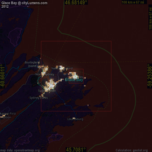
» Earth at Night: Flat Maps 2012, 2016