Sydney night lights from space
Night Light of Sydney (Nova Scotia) from space (Canada) Src. Average luminocity for 10x10km area is 39.6818% and for 50x50km: 4.3389%.
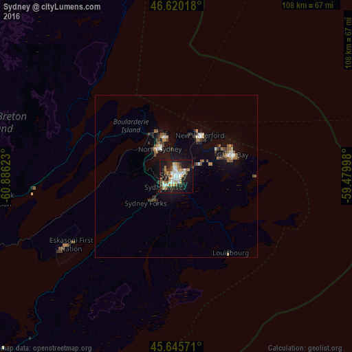
Analysis of Sydney night lights 2016
Square area 10x10 km:
 7.67%
7.67%90-99
8.66%80-89
1.99%70-79
6.11%60-69
4.97%50-59
4.69%40-49
3.41%30-39
3.98%20-29
12.36%10-19
36.22%0-9
9.94%Square area 50x50 km:
0.52%90-99
0.64%80-89
0.22%70-79
0.52%60-69
0.58%50-59
0.63%40-49
0.69%30-39
0.55%20-29
0.9%10-19
4.04%0-9
90.72%Clear (daylight) street map image can be seen on geolist.org.
Map coordinates:
46° 37' 12.6" North, 60° 53' 10.4" West
46° 8' 6.4" North, 60° 10' 59.2" West
45° 38' 44.6" North, 59° 28' 47.9" West
Some cities around Sydney sort by population:
• Charlottetown
227.4 km =141.3 mi,  272°
272°
• Truro
253.9 km =157.8 mi,  250°
250°
• Glace Bay
18.7 km =11.6 mi,  68°
68°
• New Glasgow
200.5 km =124.6 mi, 252°
• Summerside
278.6 km =173.1 mi,  275°
275°
• Stephenville
294.4 km =182.9 mi,  24°
24°
• Princeville
95.5 km =59.3 mi,  244°
244°
• Antigonish
151.9 km =94.4 mi, 247°
6354908 (p: 105,968)
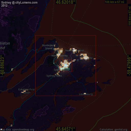
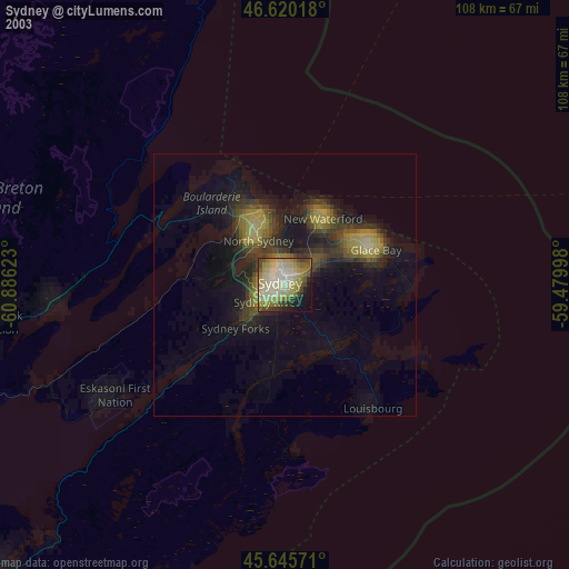
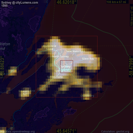
Sources (retrieved 2019-11-25):
» NASA, Earths city lights 1995
» NASA city lights 2003
» Earth at Night: Flat Maps 2012, 2016