Salaberry-de-Valleyfield night lights from space
Night Light of Salaberry-de-Valleyfield (Quebec) from space (Canada) Src. Average luminocity for 10x10km area is 42.897% and for 50x50km: 12.6223%.
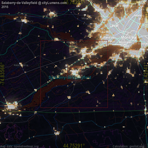
Analysis of Salaberry-de-Valleyfield night lights 2016
Square area 10x10 km:
 8.18%
8.18%90-99
8.03%80-89
6.82%70-79
3.48%60-69
6.97%50-59
2.88%40-49
4.39%30-39
6.67%20-29
17.73%10-19
26.06%0-9
8.79%Square area 50x50 km:
1.42%90-99
2.13%80-89
1.41%70-79
1.47%60-69
1.51%50-59
1.2%40-49
1.93%30-39
2.59%20-29
5.33%10-19
10.25%0-9
70.76%Clear (daylight) street map image can be seen on geolist.org.
Map coordinates:
45° 44' 34.5" North, 74° 50' 8.4" West
45° 15' 0.3" North, 74° 7' 57.1" West
44° 45' 10.5" North, 73° 25' 45.9" West
Some cities around Salaberry-de-Valleyfield sort by population:
• Vaudreuil-Dorion
18.4 km =11.4 mi,  25°
25°
• Les Coteaux
8.7 km =5.4 mi,  295°
295°
• Saint-Lazare
16.7 km =10.4 mi,  359°
359°
• Pincourt
18.9 km =11.7 mi,  38°
38°
• L'Île-Perrot
20.6 km =12.8 mi, 44°
• Notre-Dame-de-l'Île-Perrot
20.3 km =12.6 mi,  50°
50°
• Coteau-du-Lac
6.8 km =4.2 mi,  324°
324°
• Saint-Zotique
9.1 km =5.7 mi,  270°
270°
6139289 (p: 38,662)
Sources (retrieved 2019-11-25):
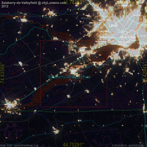
» Earth at Night: Flat Maps 2012, 2016