L'Île-Perrot night lights from space
Night Light of L'Île-Perrot (Quebec) from space (Canada) Src. Average luminocity for 10x10km area is 46.7952% and for 50x50km: 33.1787%.
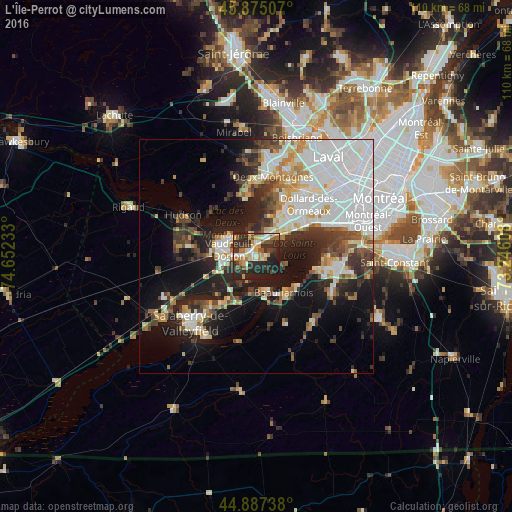
Analysis of L'Île-Perrot night lights 2016
Square area 10x10 km:
 4.29%
4.29%90-99
10.48%80-89
5.24%70-79
7.46%60-69
6.19%50-59
5.4%40-49
4.76%30-39
10.79%20-29
31.75%10-19
13.65%0-9
0%Square area 50x50 km:
10.75%90-99
6.43%80-89
2.95%70-79
3.08%60-69
3.02%50-59
2.49%40-49
3.69%30-39
4.97%20-29
7.75%10-19
13.82%0-9
41.05%Clear (daylight) street map image can be seen on geolist.org.
Map coordinates:
45° 52' 30.3" North, 74° 39' 8.4" West
45° 23' 0.2" North, 73° 56' 57.1" West
44° 53' 14.6" North, 73° 14' 45.9" West
Some cities around L'Île-Perrot sort by population:
• Pointe-Claire
12.6 km =7.8 mi,  54°
54°
• Vaudreuil-Dorion
6.8 km =4.2 mi,  285°
285°
• Kirkland
9.9 km =6.2 mi,  41°
41°
• Beaconsfield
8.6 km =5.3 mi, 49°
• Beauharnois
9.8 km =6.1 mi,  142°
142°
• Pincourt
2.6 km =1.6 mi,  270°
270°
• Notre-Dame-de-l'Île-Perrot
2.3 km =1.4 mi, 144°
• Sainte-Anne-de-Bellevue
2.6 km =1.6 mi,  6°
6°
6053877 (p: 9,927)
Sources (retrieved 2019-11-25):
» Earth at Night: Flat Maps 2012, 2016