Greenwood night lights from space
Night Light of Greenwood (Nova Scotia) from space (Canada) Src. Average luminocity for 10x10km area is 10.1111% and for 50x50km: 0.7434%.
Analysis of Greenwood night lights 2016
Square area 10x10 km:
 0%
0%90-99
3.81%80-89
0%70-79
1.43%60-69
1.59%50-59
1.43%40-49
0.63%30-39
1.9%20-29
1.59%10-19
1.59%0-9
86.03%Square area 50x50 km:
0.02%90-99
0.15%80-89
0.02%70-79
0.11%60-69
0.13%50-59
0.19%40-49
0.13%30-39
0.16%20-29
0.08%10-19
0.17%0-9
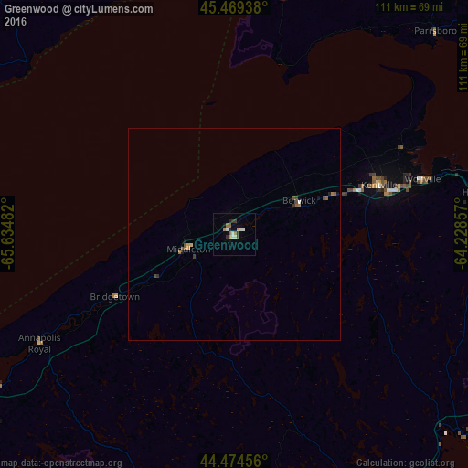
98.84%Clear (daylight) street map image can be seen on geolist.org.
Map coordinates:
45° 28' 9.8" North, 65° 38' 5.4" West
44° 58' 26.9" North, 64° 55' 54.1" West
44° 28' 28.4" North, 64° 13' 42.9" West
Some cities around Greenwood sort by population:
• Dartmouth
112 km =69.6 mi,  107°
107°
• Saint John
95.1 km =59.1 mi,  290°
290°
• Lower Sackville
101.2 km =62.9 mi,  102°
102°
• Kentville
36.1 km =22.4 mi,  71°
71°
• Fall River
105.1 km =65.3 mi, 99°
• Amherst
111.4 km =69.2 mi,  30°
30°
• Bridgewater
73.8 km =45.9 mi,  153°
153°
• Sussex
94.6 km =58.8 mi,  331°
331°
5966689 (p: 6,915)
Sources (retrieved 2019-11-25):
» Earth at Night: Flat Maps 2012, 2016