Owen Sound night lights from space
Night Light of Owen Sound (Ontario) from space (Canada) Src. Average luminocity for 10x10km area is 24.0379% and for 50x50km: 1.3184%.
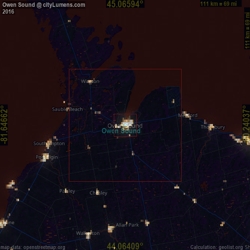
Analysis of Owen Sound night lights 2016
Square area 10x10 km:
 3.48%
3.48%90-99
4.55%80-89
4.09%70-79
1.97%60-69
3.48%50-59
1.36%40-49
2.73%30-39
2.12%20-29
1.21%10-19
25.61%0-9
49.39%Square area 50x50 km:
0.14%90-99
0.18%80-89
0.16%70-79
0.12%60-69
0.21%50-59
0.1%40-49
0.22%30-39
0.19%20-29
0.23%10-19
1.08%0-9
97.36%Clear (daylight) street map image can be seen on geolist.org.
Map coordinates:
45° 3' 57.4" North, 81° 38' 47.8" West
44° 34' 1.8" North, 80° 56' 36.6" West
44° 3' 50.7" North, 80° 14' 25.3" West
Some cities around Owen Sound sort by population:
• Midland
86.3 km =53.6 mi,  76°
76°
• Collingwood
58.4 km =36.3 mi,  99°
99°
• Angus
88.7 km =55.1 mi,  108°
108°
• Shelburne
80.1 km =49.8 mi,  132°
132°
• Wasaga Beach
73.7 km =45.8 mi,  94°
94°
• Listowel
92.7 km =57.6 mi,  180°
180°
• Hanover
46.9 km =29.1 mi,  188°
188°
• Kincardine
69.5 km =43.2 mi,  232°
232°
6095645 (p: 22,625)
Sources (retrieved 2019-11-25):
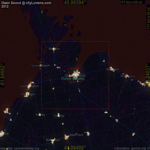
» Earth at Night: Flat Maps 2012, 2016