Nelson night lights from space
Night Light of Nelson (British Columbia) from space (Canada) Src. Average luminocity for 10x10km area is 7.2983% and for 50x50km: 0.3425%.
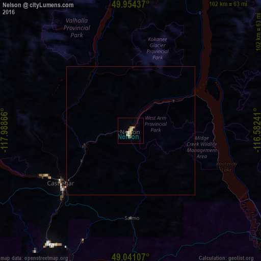
Analysis of Nelson night lights 2016
Square area 10x10 km:
 0.42%
0.42%90-99
0.84%80-89
1.82%70-79
0.98%60-69
2.1%50-59
0.56%40-49
1.12%30-39
0%20-29
0.28%10-19
0.84%0-9
91.04%Square area 50x50 km:
0.02%90-99
0.03%80-89
0.07%70-79
0.04%60-69
0.08%50-59
0.02%40-49
0.05%30-39
0%20-29
0.12%10-19
0.03%0-9
99.53%Clear (daylight) street map image can be seen on geolist.org.
Map coordinates:
49° 57' 15.7" North, 117° 59' 19.2" West
49° 29' 59.5" North, 117° 17' 7.9" West
49° 2' 27.9" North, 116° 34' 56.7" West
Some cities around Nelson sort by population:
• Kelowna
163.9 km =101.8 mi,  285°
285°
• Cranbrook
109.5 km =68 mi,  89°
89°
• Trail
53.8 km =33.4 mi,  214°
214°
• Castlegar
33.4 km =20.8 mi,  233°
233°
• Sandpoint, US
146.2 km =90.8 mi,  158°
158°
• Duck Lake
161.9 km =100.6 mi, 290°
• Kimberley
96.2 km =59.8 mi,  78°
78°
• Fernie
160.1 km =99.5 mi, 89°
6086871 (p: 10,664)
Sources (retrieved 2019-11-25):
» Earth at Night: Flat Maps 2012, 2016