Castlegar night lights from space
Night Light of Castlegar (British Columbia) from space (Canada) Src. Average luminocity for 10x10km area is 7.8088% and for 50x50km: 0.8856%.
Analysis of Castlegar night lights 2016
Square area 10x10 km:
 0.94%
0.94%90-99
0.67%80-89
0.53%70-79
0.8%60-69
0.8%50-59
2.14%40-49
1.6%30-39
1.6%20-29
1.87%10-19
0.53%0-9
88.5%Square area 50x50 km:
0.13%90-99
0.09%80-89
0.13%70-79
0.08%60-69
0.07%50-59
0.16%40-49
0.17%30-39
0.11%20-29
0.17%10-19
0.08%0-9
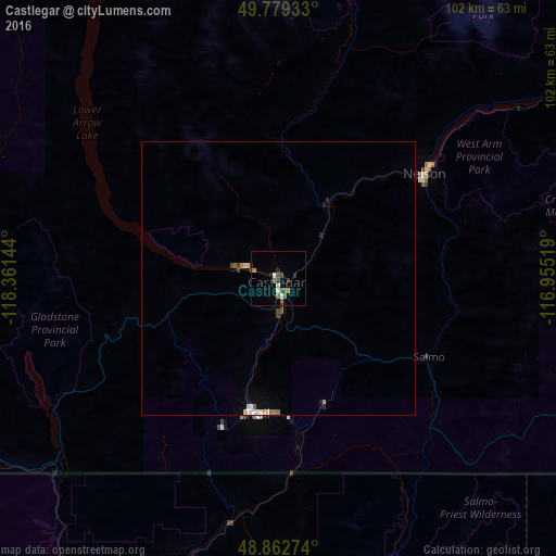
98.8%Clear (daylight) street map image can be seen on geolist.org.
Map coordinates:
49° 46' 45.6" North, 118° 21' 41.2" West
49° 19' 23.4" North, 117° 39' 29.9" West
48° 51' 45.9" North, 116° 57' 18.7" West
Some cities around Castlegar sort by population:
• Kelowna
145.6 km =90.5 mi,  295°
295°
• Penticton
140.6 km =87.4 mi,  277°
277°
• Cranbrook
138.1 km =85.8 mi,  81°
81°
• Nelson
33.4 km =20.8 mi,  53°
53°
• Trail
25 km =15.5 mi,  187°
187°
• Sandpoint, US
141.7 km =88 mi,  145°
145°
• Kimberley
127.4 km =79.2 mi,  72°
72°
• Oliver
138.3 km =85.9 mi,  263°
263°
5918118 (p: 8,715)
Sources (retrieved 2019-11-25):
» Earth at Night: Flat Maps 2012, 2016