Duncan night lights from space
Night Light of Duncan (British Columbia) from space (Canada) Src. Average luminocity for 10x10km area is 16.4063% and for 50x50km: 2.1249%.
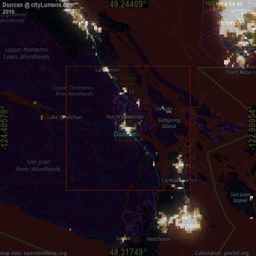
Analysis of Duncan night lights 2016
Square area 10x10 km:
 2.27%
2.27%90-99
2.13%80-89
2.41%70-79
1.56%60-69
1.85%50-59
1.99%40-49
1.42%30-39
3.13%20-29
1.99%10-19
9.52%0-9
71.73%Square area 50x50 km:
0.25%90-99
0.28%80-89
0.27%70-79
0.13%60-69
0.27%50-59
0.39%40-49
0.36%30-39
0.43%20-29
0.16%10-19
0.65%0-9
96.82%Clear (daylight) street map image can be seen on geolist.org.
Map coordinates:
49° 14' 38.7" North, 124° 24' 20.8" West
48° 46' 58.5" North, 123° 42' 9.6" West
48° 19' 3" North, 122° 59' 58.3" West
Some cities around Duncan sort by population:
• Nanaimo
46 km =28.6 mi,  337°
337°
• North Cowichan
6.6 km =4.1 mi,  10°
10°
• Langford
39.9 km =24.8 mi,  158°
158°
• Colwood
42.1 km =26.2 mi, 157°
• North Saanich
24.5 km =15.2 mi,  121°
121°
• Salt Spring Island
16 km =9.9 mi,  75°
75°
• Ladysmith
24.5 km =15.2 mi, 340°
• Sooke
45.4 km =28.2 mi,  182°
182°
5943865 (p: 22,199)
Sources (retrieved 2019-11-25):
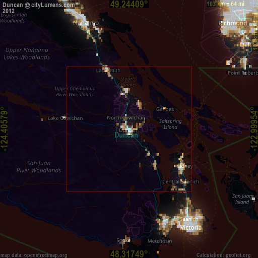
» Earth at Night: Flat Maps 2012, 2016