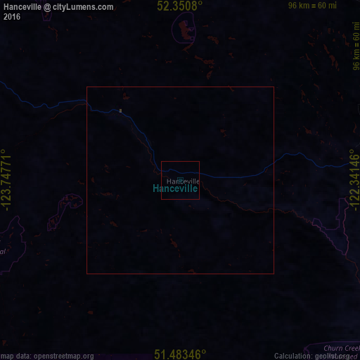
Hanceville night lights from space
Night Light of Hanceville (British Columbia) from space (Canada) Src. Average luminocity for 10x10km area is 0% and for 50x50km: 0.0072%.
Analysis of Hanceville night lights 2016
Square area 10x10 km:
 0%
0%90-99
0%80-89
0%70-79
0%60-69
0%50-59
0%40-49
0%30-39
0%20-29
0%10-19
0%0-9
100%Square area 50x50 km:
0%90-99
0%80-89
0%70-79
0%60-69
0%50-59
0%40-49
0%30-39
0.02%20-29
0%10-19
0%0-9
99.98%Clear (daylight) street map image can be seen on geolist.org.
Map coordinates:
52° 21' 2.9" North, 123° 44' 51.8" West
51° 55' 9.2" North, 123° 2' 40.5" West
51° 29' 0.5" North, 122° 20' 29.3" West
Some cities around Hanceville sort by population:
• Kamloops
235.2 km =146.1 mi,  126°
126°
• Prince George
222.9 km =138.5 mi,  5°
5°
• Squamish
247 km =153.5 mi,  181°
181°
• Williams Lake
66.3 km =41.2 mi,  68°
68°
• Quesnel
123.6 km =76.8 mi,  17°
17°
• Powell River
254.1 km =157.9 mi,  204°
204°
• Whistler
200.4 km =124.5 mi, 178°
• Merritt
255.2 km =158.6 mi,  141°
141°
5970063 (p: 10,000)
Sources (retrieved 2019-11-25):
» Earth at Night: Flat Maps 2012, 2016