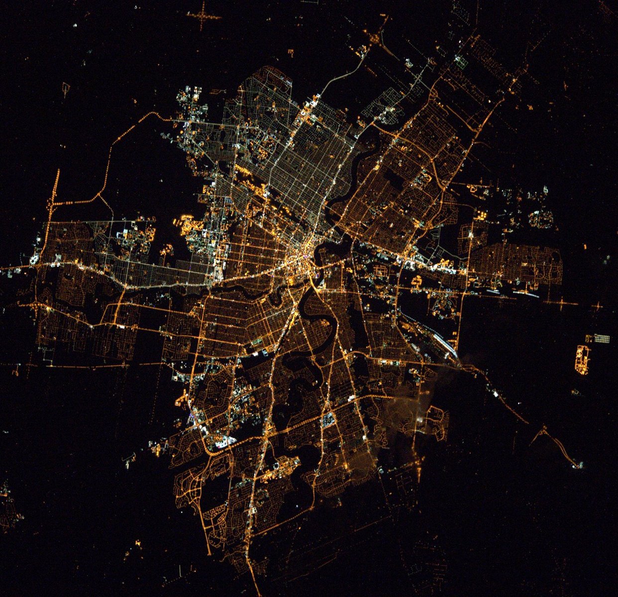
Winnipeg night lights from space
Night Light of Winnipeg (Manitoba) from space (Canada) Src. Average luminocity for 10x10km area is 98.0252% and for 50x50km: 19.7222%.
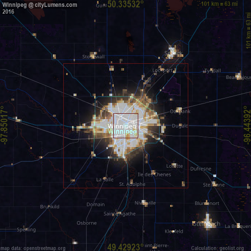
Analysis of Winnipeg night lights 2016
Square area 10x10 km:
 61.76%
90-99
30.53%80-89
6.3%70-79
1.4%60-69
0%50-59
0%40-49
0%30-39
0%20-29
0%10-19
0%0-9
0%Square area 50x50 km:
5.71%90-99
4.61%80-89
2.15%70-79
1.41%60-69
1.56%50-59
2.33%40-49
2.03%30-39
2.58%20-29
3.94%10-19
6.45%0-9
67.22%Clear (daylight) street map image can be seen on geolist.org.
Map coordinates:
50° 20' 7.2" North, 97° 51' 0.6" West
49° 53' 3.8" North, 97° 8' 49.3" West
49° 25' 45.2" North, 96° 26' 38.1" West
Fantastic image of Winnipeg from space taken by astronauts [src2], but I don't have information about it's orientation, scale or angle. If necessary, it was rotated manually, so North points approximately to upper direction. Click to zoom in:
Some cities around Winnipeg sort by population:
• Brandon
201.1 km =125 mi,  268°
268°
• Kenora
191 km =118.7 mi,  93°
93°
• Portage la Prairie
82.6 km =51.3 mi,  276°
276°
• Selkirk
34.4 km =21.4 mi,  33°
33°
• Steinbach
51.9 km =32.2 mi,  140°
140°
• Thief River Falls, US
208.5 km =129.6 mi,  160°
160°
• Winkler
96.9 km =60.2 mi,  216°
216°
• Morden
103.3 km =64.2 mi, 221°
6183235 (p: 632,063)
Sources (retrieved 2019-11-25):
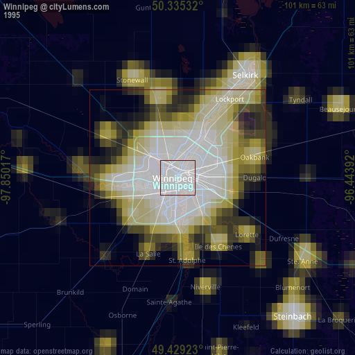
» NASA, Earths city lights 1995
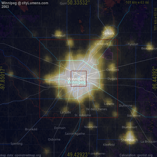
» NASA city lights 2003
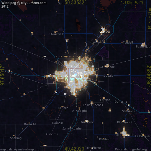
» Earth at Night: Flat Maps 2012, 2016
Src.2: Tim Kopra, Twitter/@astro_tim, 2016-04-02