Gaspé night lights from space
Night Light of Gaspé (Quebec) from space (Canada) Src. Average luminocity for 10x10km area is 10.4986% and for 50x50km: 0.7348%.
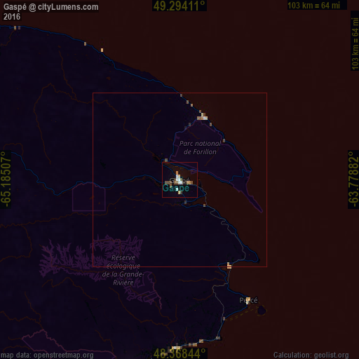
Analysis of Gaspé night lights 2016
Square area 10x10 km:
 1.79%
1.79%90-99
1.52%80-89
1.1%70-79
0.28%60-69
1.38%50-59
1.24%40-49
3.72%30-39
0.55%20-29
0.69%10-19
0.96%0-9
86.78%Square area 50x50 km:
0.08%90-99
0.09%80-89
0.1%70-79
0.03%60-69
0.13%50-59
0.08%40-49
0.27%30-39
0.09%20-29
0.06%10-19
0.06%0-9
99%Clear (daylight) street map image can be seen on geolist.org.
Map coordinates:
49° 17' 38.8" North, 65° 11' 6.3" West
48° 50' 0.3" North, 64° 28' 55" West
48° 22' 6.4" North, 63° 46' 43.8" West
Some cities around Gaspé sort by population:
• Sept-Îles
204.7 km =127.2 mi,  317°
317°
• Miramichi
214.5 km =133.3 mi,  200°
200°
• Bathurst
160.5 km =99.7 mi,  212°
212°
• Chandler
55.7 km =34.6 mi, 195°
• Campbellton
185.9 km =115.5 mi,  240°
240°
• Amqui
220.5 km =137 mi,  259°
259°
• Port-Cartier
217.9 km =135.4 mi,  307°
307°
• Sainte-Anne-des-Monts
150.2 km =93.3 mi,  282°
282°
5959878 (p: 14,819)
Sources (retrieved 2019-11-25):
» Earth at Night: Flat Maps 2012, 2016