Chandler night lights from space
Night Light of Chandler (Quebec) from space (Canada) Src. Average luminocity for 10x10km area is 7.6577% and for 50x50km: 0.8172%.
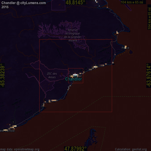
Analysis of Chandler night lights 2016
Square area 10x10 km:
 1.14%
1.14%90-99
1.7%80-89
0%70-79
0.43%60-69
1.85%50-59
0.71%40-49
1.56%30-39
0.85%20-29
0.99%10-19
0.99%0-9
89.77%Square area 50x50 km:
0.05%90-99
0.09%80-89
0.04%70-79
0.05%60-69
0.14%50-59
0.22%40-49
0.29%30-39
0.17%20-29
0.21%10-19
0.19%0-9
98.56%Clear (daylight) street map image can be seen on geolist.org.
Map coordinates:
48° 48' 52.2" North, 65° 22' 56.6" West
48° 20' 57.7" North, 64° 40' 45.3" West
47° 52' 47.7" North, 63° 58' 34.1" West
Some cities around Chandler sort by population:
• Miramichi
159.2 km =98.9 mi,  202°
202°
• Gaspé
55.7 km =34.6 mi,  15°
15°
• Matane
215.7 km =134 mi,  284°
284°
• Summerside
227.3 km =141.2 mi,  162°
162°
• Bathurst
108.8 km =67.6 mi,  221°
221°
• Campbellton
152.6 km =94.8 mi,  255°
255°
• Amqui
203.5 km =126.4 mi,  273°
273°
• Sainte-Anne-des-Monts
158.4 km =98.4 mi,  302°
302°
6943811 (p: 7,914)
Sources (retrieved 2019-11-25):
» Earth at Night: Flat Maps 2012, 2016