Sept-Îles night lights from space
Night Light of Sept-Îles (Quebec) from space (Canada) Src. Average luminocity for 10x10km area is 25.857% and for 50x50km: 1.6784%.
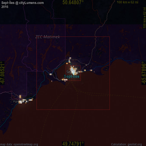
Analysis of Sept-Îles night lights 2016
Square area 10x10 km:
 5.75%
5.75%90-99
5.21%80-89
3.21%70-79
1.34%60-69
2.54%50-59
1.6%40-49
2.81%30-39
2.14%20-29
0.27%10-19
31.42%0-9
43.72%Square area 50x50 km:
0.29%90-99
0.26%80-89
0.15%70-79
0.19%60-69
0.19%50-59
0.18%40-49
0.15%30-39
0.15%20-29
0.13%10-19
1.84%0-9
96.47%Clear (daylight) street map image can be seen on geolist.org.
Map coordinates:
50° 38' 53.1" North, 67° 5' 6.8" West
50° 12' 0.4" North, 66° 22' 55.5" West
49° 44' 52.5" North, 65° 40' 44.3" West
Some cities around Sept-Îles sort by population:
• Baie-Comeau
167.6 km =104.1 mi,  229°
229°
• Gaspé
204.7 km =127.2 mi,  137°
137°
• Matane
173.3 km =107.7 mi,  208°
208°
• Hauterive
175.1 km =108.8 mi, 230°
• Mont-Joli
222.4 km =138.2 mi,  216°
216°
• Amqui
207.5 km =128.9 mi,  201°
201°
• Port-Cartier
39.1 km =24.3 mi,  241°
241°
• Sainte-Anne-des-Monts
119.9 km =74.5 mi,  183°
183°
6144312 (p: 22,582)
Sources (retrieved 2019-11-25):
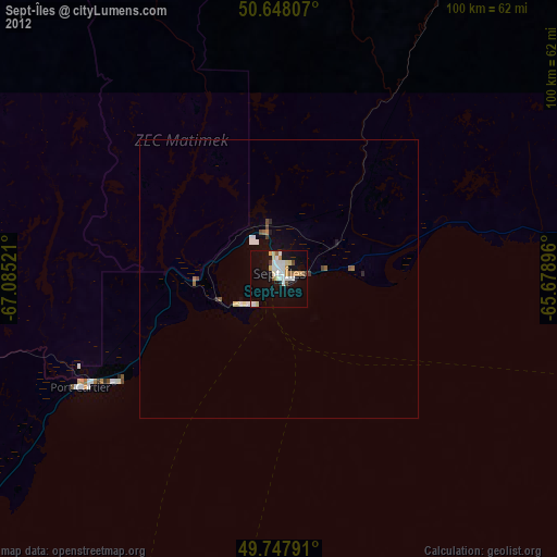
» Earth at Night: Flat Maps 2012, 2016