Clarence-Rockland night lights from space
Night Light of Clarence-Rockland (Ontario) from space (Canada) Src. Average luminocity for 10x10km area is 13.2303% and for 50x50km: 7.7345%.
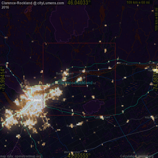
Analysis of Clarence-Rockland night lights 2016
Square area 10x10 km:
 0.61%
0.61%90-99
2.42%80-89
2.27%70-79
1.06%60-69
1.36%50-59
1.67%40-49
1.52%30-39
1.82%20-29
2.42%10-19
1.06%0-9
83.79%Square area 50x50 km:
0.96%90-99
1.47%80-89
1.01%70-79
0.66%60-69
0.79%50-59
1.21%40-49
1.15%30-39
1.29%20-29
2.37%10-19
4.68%0-9
84.4%Clear (daylight) street map image can be seen on geolist.org.
Map coordinates:
46° 2' 25.2" North, 75° 59' 38.9" West
45° 33' 0.4" North, 75° 17' 27.6" West
45° 3' 20" North, 74° 35' 16.4" West
Some cities around Clarence-Rockland sort by population:
• Ottawa
35.3 km =21.9 mi,  244°
244°
• Gatineau
33 km =20.5 mi,  255°
255°
• Fallingbrook
17.2 km =10.7 mi, 241°
• Vanier
31.6 km =19.6 mi,  247°
247°
• Buckingham
10.8 km =6.7 mi,  291°
291°
• Queenswood Heights
18.9 km =11.7 mi, 242°
• Cantley
38.3 km =23.8 mi,  272°
272°
• Val-des-Monts
31.2 km =19.4 mi, 290°
5923101 (p: 20,790)
Sources (retrieved 2019-11-25):
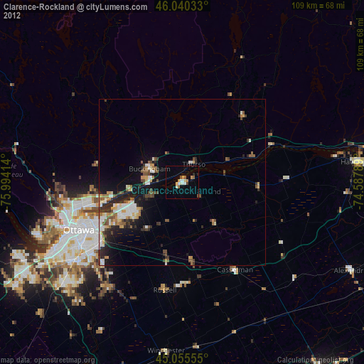
» Earth at Night: Flat Maps 2012, 2016