Gatineau night lights from space
Night Light of Gatineau (Quebec) from space (Canada) Src. Average luminocity for 10x10km area is 82.619% and for 50x50km: 27.0527%.
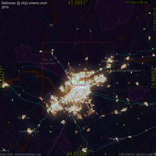
Analysis of Gatineau night lights 2016
Square area 10x10 km:
 26.35%
90-99
26.67%80-89
12.06%70-79
11.9%60-69
8.1%50-59
4.44%40-49
3.02%30-39
4.92%20-29
2.54%10-19
0%0-9
0%Square area 50x50 km:
6.34%90-99
6.41%80-89
3.32%70-79
2.78%60-69
3.07%50-59
2.94%40-49
2.94%30-39
4.03%20-29
5.95%10-19
9.07%0-9
53.13%Clear (daylight) street map image can be seen on geolist.org.
Map coordinates:
45° 58' 5.2" North, 76° 24' 17.2" West
45° 28' 38" North, 75° 42' 5.9" West
44° 58' 55.4" North, 74° 59' 54.7" West
Some cities around Gatineau sort by population:
• Ottawa
7.4 km =4.6 mi,  177°
177°
• Nepean
15.8 km =9.8 mi,  185°
185°
• Fallingbrook
17 km =10.6 mi,  90°
90°
• Vanier
5 km =3.1 mi,  145°
145°
• le Plateau
7.7 km =4.8 mi,  232°
232°
• Queenswood Heights
15.3 km =9.5 mi, 92°
• Cantley
11.8 km =7.3 mi,  327°
327°
• Val-des-Monts
19.4 km =12.1 mi,  8°
8°
5959974 (p: 242,124)
Sources (retrieved 2019-11-25):
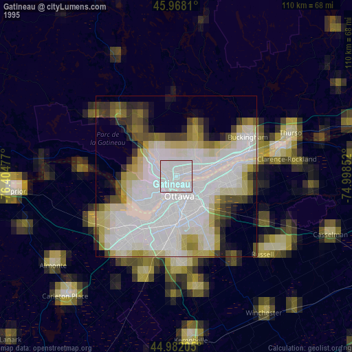
» NASA, Earths city lights 1995
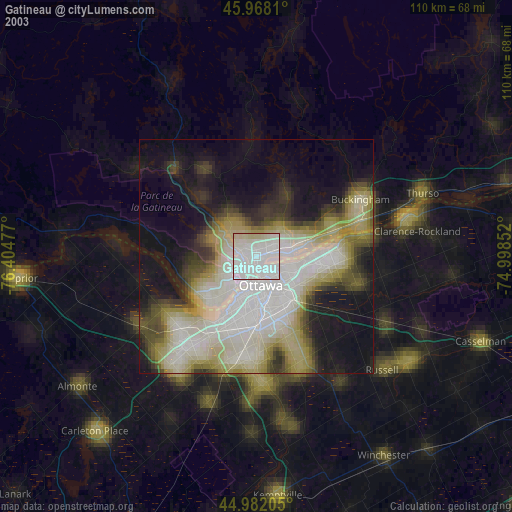
» NASA city lights 2003
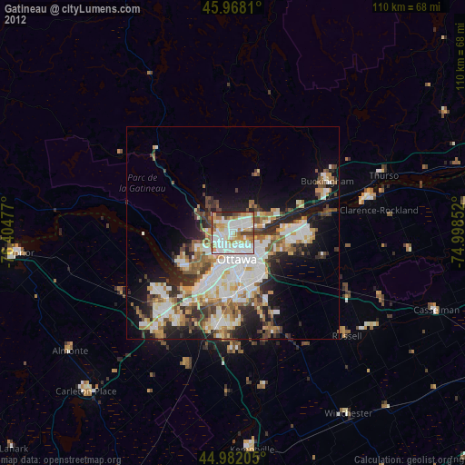
» Earth at Night: Flat Maps 2012, 2016