Fallingbrook night lights from space
Night Light of Fallingbrook (Prince Edward Island) from space (Canada) Src. Average luminocity for 10x10km area is 52.2968% and for 50x50km: 22.4806%.
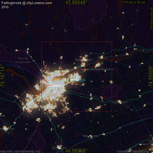
Analysis of Fallingbrook night lights 2016
Square area 10x10 km:
 12.22%
90-99
13.49%80-89
6.98%70-79
3.81%60-69
3.33%50-59
5.56%40-49
4.13%30-39
8.41%20-29
22.54%10-19
18.57%0-9
0.95%Square area 50x50 km:
5.35%90-99
5.28%80-89
2.85%70-79
2.23%60-69
2.37%50-59
2.58%40-49
2.61%30-39
2.79%20-29
4.44%10-19
6.87%0-9
62.64%Clear (daylight) street map image can be seen on geolist.org.
Map coordinates:
45° 57' 59.3" North, 76° 11' 13.7" West
45° 28' 32.1" North, 75° 29' 2.4" West
44° 58' 49.4" North, 74° 46' 51.2" West
Some cities around Fallingbrook sort by population:
• Ottawa
18.2 km =11.3 mi,  246°
246°
• Gatineau
17 km =10.6 mi,  270°
270°
• Clarence-Rockland
17.2 km =10.7 mi,  61°
61°
• Vanier
14.7 km =9.1 mi, 254°
• Buckingham
13.2 km =8.2 mi,  21°
21°
• le Plateau
23.5 km =14.6 mi,  258°
258°
• Queenswood Heights
1.8 km =1.1 mi, 252°
• Val-des-Monts
24 km =14.9 mi,  323°
323°
12070742 (p: 25,000)
Sources (retrieved 2019-11-25):
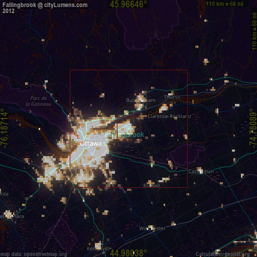
» Earth at Night: Flat Maps 2012, 2016