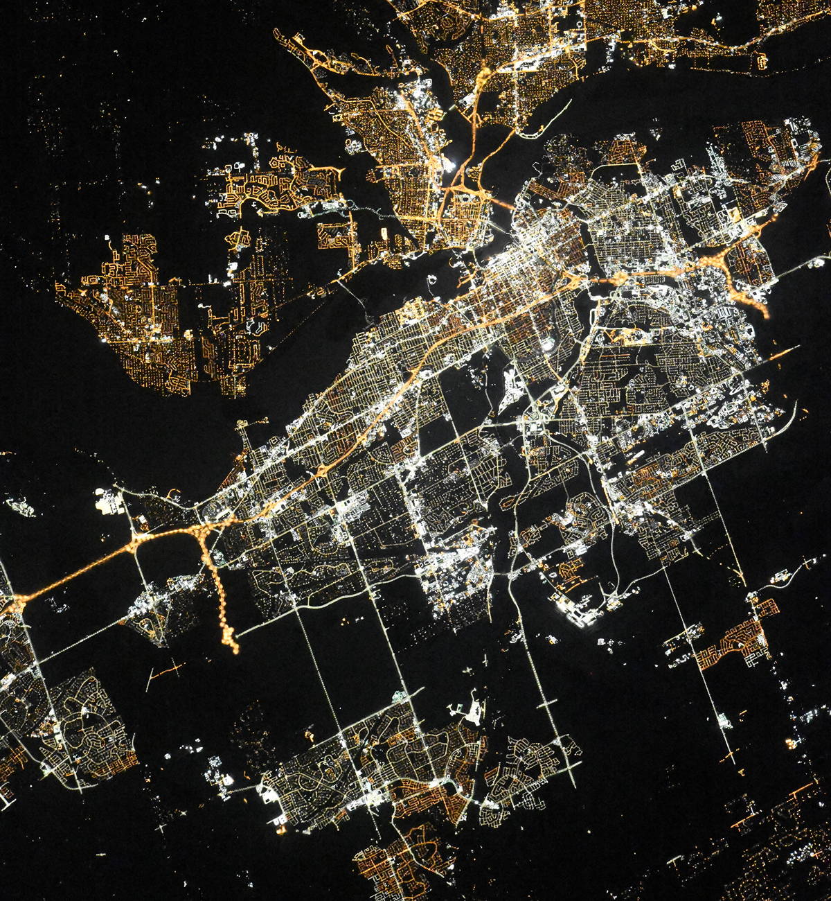
Ottawa night lights from space
Night Light of Ottawa (Ontario) from space (Canada) Src. Average luminocity for 10x10km area is 95.9159% and for 50x50km: 28.8476%.

Analysis of Ottawa night lights 2016
Square area 10x10 km:
 55.87%
90-99
28.41%80-89
7.3%70-79
6.03%60-69
2.22%50-59
0.16%40-49
0%30-39
0%20-29
0%10-19
0%0-9
0%Square area 50x50 km:
6.48%90-99
6.63%80-89
3.39%70-79
2.9%60-69
3.34%50-59
3.2%40-49
3.28%30-39
4.26%20-29
6.73%10-19
11.49%0-9
48.3%Clear (daylight) street map image can be seen on geolist.org.
Map coordinates:
45° 54' 9.4" North, 76° 24' 4.5" West
45° 24' 40.2" North, 75° 41' 53.2" West
44° 54' 55.5" North, 74° 59' 42" West
Fantastic image of Ottawa from space taken by astronauts [src2], but I don't have information about it's orientation, scale or angle. If necessary, it was rotated manually, so North points approximately to upper direction. Click to zoom in:
Some cities around Ottawa sort by population:
• Gatineau
7.4 km =4.6 mi,  357°
357°
• Nepean
8.6 km =5.3 mi,  192°
192°
• Fallingbrook
18.2 km =11.3 mi,  66°
66°
• Vanier
4.1 km =2.5 mi,  38°
38°
• le Plateau
6.9 km =4.3 mi,  292°
292°
• Queenswood Heights
16.4 km =10.2 mi, 66°
• Cantley
18.5 km =11.5 mi,  339°
339°
• Bells Corners
14.8 km =9.2 mi,  224°
224°
6094817 (p: 812,129)
Sources (retrieved 2019-11-25):
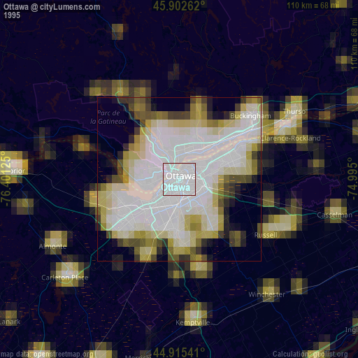
» NASA, Earths city lights 1995
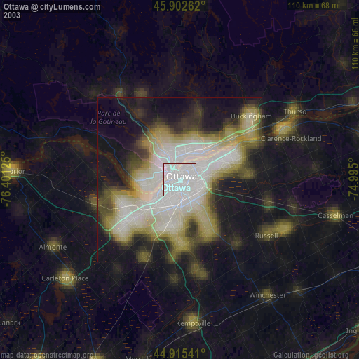
» NASA city lights 2003
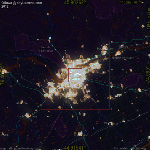
» Earth at Night: Flat Maps 2012, 2016
Src.2: picture by Oleg Kononenko,ĀRoscosmos, retrieved 2019-11-29