Matane night lights from space
Night Light of Matane (Quebec) from space (Canada) Src. Average luminocity for 10x10km area is 18.8438% and for 50x50km: 0.8721%.
Analysis of Matane night lights 2016
Square area 10x10 km:
 4.12%
4.12%90-99
4.4%80-89
1.7%70-79
2.7%60-69
0.85%50-59
1.56%40-49
1.7%30-39
1.14%20-29
0%10-19
19.18%0-9
62.64%Square area 50x50 km:
0.16%90-99
0.18%80-89
0.07%70-79
0.11%60-69
0.03%50-59
0.06%40-49
0.11%30-39
0.06%20-29
0.01%10-19
0.83%0-9
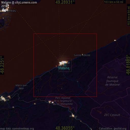
98.38%Clear (daylight) street map image can be seen on geolist.org.
Map coordinates:
49° 17' 21.5" North, 68° 13' 30.4" West
48° 49' 42.9" North, 67° 31' 19.1" West
48° 21' 48.8" North, 66° 49' 7.9" West
Some cities around Matane sort by population:
• Rimouski
84.9 km =52.8 mi,  240°
240°
• Baie-Comeau
62.9 km =39.1 mi,  313°
313°
• Hauterive
67.4 km =41.9 mi, 307°
• Campbellton
110.7 km =68.8 mi,  145°
145°
• Mont-Joli
56.2 km =34.9 mi, 241°
• Amqui
41.1 km =25.5 mi,  170°
170°
• Port-Cartier
142.1 km =88.3 mi,  19°
19°
• Sainte-Anne-des-Monts
82 km =51 mi,  66°
66°
6696260 (p: 14,812)
Sources (retrieved 2019-11-25):
» Earth at Night: Flat Maps 2012, 2016