Binbrook night lights from space
Night Light of Binbrook (Ontario) from space (Canada) Src. Average luminocity for 10x10km area is 12.3652% and for 50x50km: 17.8557%.
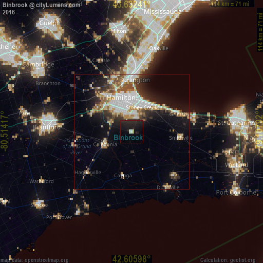
Analysis of Binbrook night lights 2016
Square area 10x10 km:
 0.45%
0.45%90-99
1.67%80-89
0.91%70-79
0.45%60-69
0.45%50-59
0%40-49
0.61%30-39
1.21%20-29
15.45%10-19
21.67%0-9
57.12%Square area 50x50 km:
4.07%90-99
3.48%80-89
2.1%70-79
1.71%60-69
2.01%50-59
2.06%40-49
2.13%30-39
2.57%20-29
4.13%10-19
8.19%0-9
67.55%Clear (daylight) street map image can be seen on geolist.org.
Map coordinates:
43° 37' 56.7" North, 80° 30' 51" West
43° 7' 16.9" North, 79° 48' 39.7" West
42° 36' 21.5" North, 79° 6' 28.5" West
Some cities around Binbrook sort by population:
• Hamilton
14.7 km =9.1 mi,  347°
347°
• Oakville
38 km =23.6 mi,  15°
15°
• Burlington
29.5 km =18.3 mi,  355°
355°
• St. Catharines
46.4 km =28.8 mi,  83°
83°
• Milton
44.4 km =27.6 mi, 352°
• Brantford
37 km =23 mi,  272°
272°
• Brant
43.7 km =27.2 mi, 271°
• Ancaster
17.9 km =11.1 mi,  306°
306°
5901272 (p: 8,796)
Sources (retrieved 2019-11-25):
» Earth at Night: Flat Maps 2012, 2016