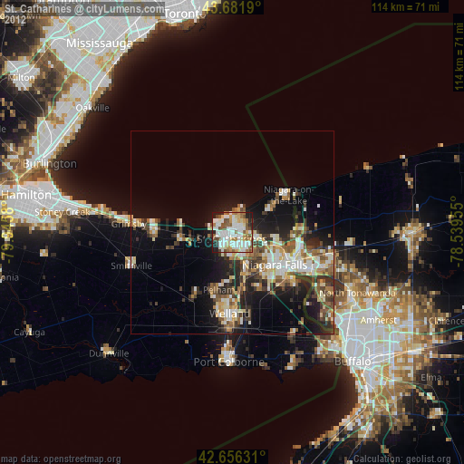
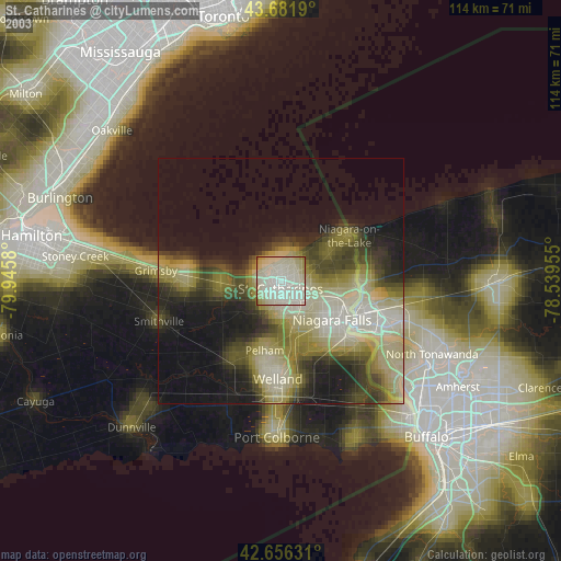
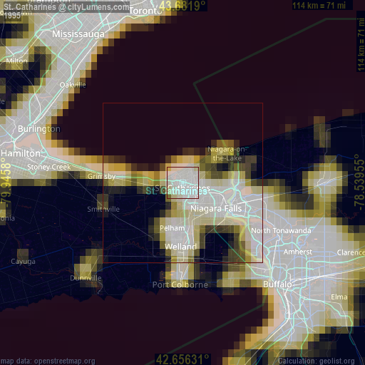
St. Catharines night lights from space
Night Light of St. Catharines (Ontario) from space (Canada) Src. Average luminocity for 10x10km area is 73.1742% and for 50x50km: 18.9546%.
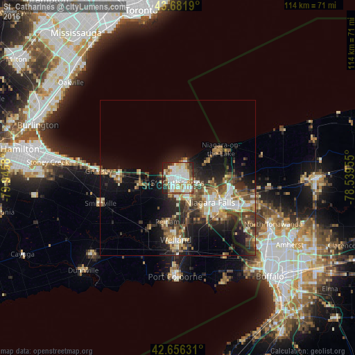
Analysis of St. Catharines night lights 2016
Square area 10x10 km:
 20.91%
90-99
25.45%80-89
8.94%70-79
6.36%60-69
7.27%50-59
5.76%40-49
5.91%30-39
3.94%20-29
11.52%10-19
3.94%0-9
0%Square area 50x50 km:
2.5%90-99
3.55%80-89
2.15%70-79
1.99%60-69
2.65%50-59
2.83%40-49
3.53%30-39
3.58%20-29
5.64%10-19
10.33%0-9
61.24%Clear (daylight) street map image can be seen on geolist.org.
Map coordinates:
43° 40' 54.8" North, 79° 56' 44.9" West
43° 10' 16.5" North, 79° 14' 33.6" West
42° 39' 22.7" North, 78° 32' 22.4" West
Some cities around St. Catharines sort by population:
• Niagara Falls
16.4 km =10.2 mi,  118°
118°
• Welland
20.9 km =13 mi,  181°
181°
• Niagara Falls, US
17.3 km =10.7 mi, 119°
• North Tonawanda, US
34.1 km =21.2 mi, 115°
• Grand Island, US
27.4 km =17 mi, 124°
• Port Colborne
30.2 km =18.8 mi, 178°
• Thorold
7 km =4.3 mi,  149°
149°
• Tonawanda, US
33.9 km =21.1 mi, 119°
6155721 (p: 131,989)
Sources (retrieved 2019-11-25):
» NASA, Earths city lights 1995
» NASA city lights 2003
» Earth at Night: Flat Maps 2012, 2016