El Estor night lights from space
Night Light of El Estor (Izabal) from space (Guatemala) Src. Average luminocity for 10x10km area is 4.8377% and for 50x50km: 0.2811%.
Analysis of El Estor night lights 2016
Square area 10x10 km:
 0%
0%90-99
0%80-89
0.87%70-79
0%60-69
1.3%50-59
3.03%40-49
0.87%30-39
0.87%20-29
0%10-19
1.08%0-9
91.99%Square area 50x50 km:
0%90-99
0%80-89
0.07%70-79
0.07%60-69
0.05%50-59
0.12%40-49
0.03%30-39
0.03%20-29
0.03%10-19
0.04%0-9
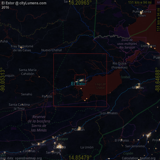
99.56%Clear (daylight) street map image can be seen on geolist.org.
Map coordinates:
16° 12' 34.7" North, 90° 3' 11.3" West
15° 31' 56" North, 89° 19' 52" West
14° 51' 17.2" North, 88° 38' 48.8" West
Some cities around El Estor sort by population:
• Zacapa
65.8 km =40.9 mi,  198°
198°
• Panzós
38.8 km =24.1 mi,  247°
247°
• Gualán
46 km =28.6 mi,  183°
183°
• Morales
53 km =32.9 mi,  97°
97°
• Estanzuela
64.3 km =40 mi, 203°
• Chahal Guatemala
41.1 km =25.5 mi,  314°
314°
• Río Hondo
58.4 km =36.3 mi,  207°
207°
• Senahú
55.8 km =34.7 mi, 254°
3597078 (p: 15,842)
Sources (retrieved 2019-11-25):
» Earth at Night: Flat Maps 2012, 2016