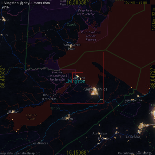
Lívingston night lights from space
Night Light of Lívingston (Izabal) from space (Guatemala) Src. Average luminocity for 10x10km area is 5.3117% and for 50x50km: 2.0804%.
Analysis of Lívingston night lights 2016
Square area 10x10 km:
 0%
0%90-99
0.65%80-89
3.46%70-79
1.08%60-69
0%50-59
0%40-49
0%30-39
0%20-29
0.87%10-19
0%0-9
93.94%Square area 50x50 km:
0.17%90-99
0.25%80-89
0.28%70-79
0.39%60-69
0.36%50-59
0.25%40-49
0.2%30-39
0.21%20-29
0.28%10-19
1.83%0-9
95.77%Clear (daylight) street map image can be seen on geolist.org.
Map coordinates:
16° 30' 12.9" North, 89° 27' 12.7" West
15° 49' 41.7" North, 88° 45' 1.4" West
15° 9' 2.4" North, 88° 2' 50.2" West
Some cities around Lívingston sort by population:
• Puerto Barrios
20.1 km =12.5 mi,  123°
123°
• Cofradía, HN
80 km =49.7 mi,  126°
126°
• Morales
40.7 km =25.3 mi,  193°
193°
• El Estor
70.3 km =43.7 mi,  242°
242°
• San Luis
84.5 km =52.5 mi,  299°
299°
• Azacualpa, HN
58 km =36 mi,  158°
158°
• Punta Gorda, BZ
30.7 km =19.1 mi,  348°
348°
• Cuyamel, HN
61.6 km =38.3 mi,  106°
106°
3593376 (p: 14,350)
Sources (retrieved 2019-11-25):
» Earth at Night: Flat Maps 2012, 2016