Mar’’ina Horka night lights from space
Night Light of Mar’’ina Horka (Minsk) from space (Belarus) Src. Average luminocity for 10x10km area is 11.8426% and for 50x50km: 0.8746%.
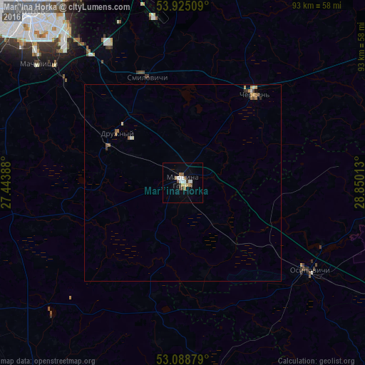
Analysis of Mar’’ina Horka night lights 2016
Square area 10x10 km:
 2.12%
2.12%90-99
2.12%80-89
1.32%70-79
0.93%60-69
1.32%50-59
1.19%40-49
1.72%30-39
1.46%20-29
0%10-19
1.32%0-9
86.51%Square area 50x50 km:
0.09%90-99
0.14%80-89
0.09%70-79
0.15%60-69
0.13%50-59
0.15%40-49
0.12%30-39
0.1%20-29
0.04%10-19
0.06%0-9
98.94%Clear (daylight) street map image can be seen on geolist.org.
Map coordinates:
53° 55' 30.3" North, 27° 26' 38" East
53° 30' 32.4" North, 28° 8' 49.2" East
53° 5' 19.6" North, 28° 51' 0.5" East
Some cities around Mar’’ina Horka sort by population:
• Asipovichy
40 km =24.9 mi,  125°
125°
• Kalodzishchy
54 km =33.6 mi,  333°
333°
• Staryya Darohi
52.7 km =32.7 mi,  171°
171°
• Chervyen’
28.8 km =17.9 mi,  40°
40°
• Druzhny
20.8 km =12.9 mi,  307°
307°
• Machulishchy
47.2 km =29.3 mi, 309°
• Hatava
45.2 km =28.1 mi, 312°
• Smilavichy
28.2 km =17.5 mi,  341°
341°
625409 (p: 20,100)
Sources (retrieved 2019-11-25):
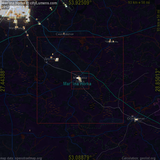
» Earth at Night: Flat Maps 2012, 2016