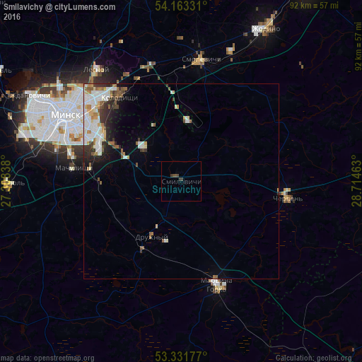
Smilavichy night lights from space
Night Light of Smilavichy (Minsk) from space (Belarus) Src. Average luminocity for 10x10km area is 1.2942% and for 50x50km: 5.4562%.
Analysis of Smilavichy night lights 2016
Square area 10x10 km:
 0%
0%90-99
0%80-89
0%70-79
0%60-69
0%50-59
0.25%40-49
1.26%30-39
1.52%20-29
0%10-19
0%0-9
96.97%Square area 50x50 km:
1.26%90-99
1.42%80-89
0.43%70-79
0.4%60-69
0.68%50-59
0.64%40-49
0.51%30-39
0.83%20-29
0.92%10-19
1.53%0-9
91.37%Clear (daylight) street map image can be seen on geolist.org.
Map coordinates:
54° 9' 47.9" North, 27° 18' 30.2" East
53° 44' 58.6" North, 28° 0' 41.4" East
53° 19' 54.4" North, 28° 42' 52.7" East
Some cities around Smilavichy sort by population:
• Minsk
33.6 km =20.9 mi,  299°
299°
• Mar’’ina Horka
28.2 km =17.5 mi,  161°
161°
• Kalodzishchy
26.3 km =16.3 mi,  325°
325°
• Horad Smalyavichy
31 km =19.3 mi,  9°
9°
• Chervyen’
28 km =17.4 mi,  99°
99°
• Druzhny
15.9 km =9.9 mi,  208°
208°
• Machulishchy
27.6 km =17.1 mi,  276°
276°
• Hatava
24.6 km =15.3 mi, 278°
621732 (p: 5,200)
Sources (retrieved 2019-11-25):
» Earth at Night: Flat Maps 2012, 2016