Staryya Darohi night lights from space
Night Light of Staryya Darohi (Minsk) from space (Belarus) Src. Average luminocity for 10x10km area is 3.5423% and for 50x50km: 0.1395%.
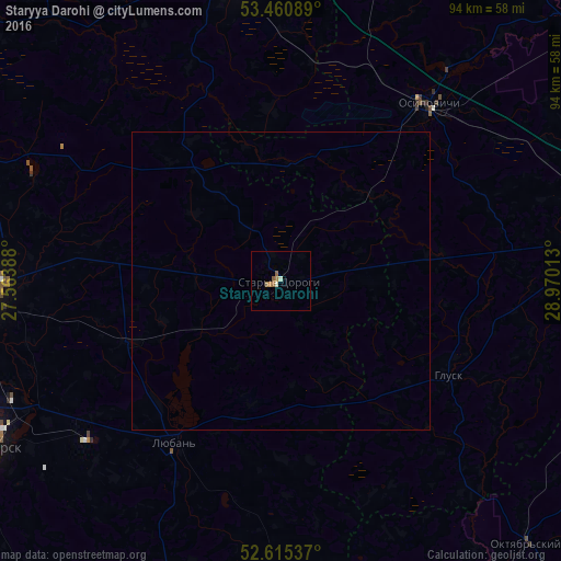
Analysis of Staryya Darohi night lights 2016
Square area 10x10 km:
 0%
0%90-99
1.06%80-89
0%70-79
0.53%60-69
1.46%50-59
1.19%40-49
0%30-39
0%20-29
0%10-19
0%0-9
95.77%Square area 50x50 km:
0%90-99
0.04%80-89
0%70-79
0.02%60-69
0.06%50-59
0.05%40-49
0%30-39
0%20-29
0%10-19
0%0-9
99.83%Clear (daylight) street map image can be seen on geolist.org.
Map coordinates:
53° 27' 39.2" North, 27° 33' 50" East
53° 2' 24.7" North, 28° 16' 1.2" East
52° 36' 55.3" North, 28° 58' 12.5" East
Some cities around Staryya Darohi sort by population:
• Babruysk
64.7 km =40.2 mi,  80°
80°
• Salihorsk
56.2 km =34.9 mi,  239°
239°
• Slutsk
47.3 km =29.4 mi,  268°
268°
• Asipovichy
38.1 km =23.7 mi,  40°
40°
• Mar’’ina Horka
52.7 km =32.7 mi,  351°
351°
• Lyuban’
32.1 km =19.9 mi,  213°
213°
• Hlusk
31.8 km =19.8 mi,  118°
118°
• Starobin
64.4 km =40 mi, 237°
621396 (p: 10,094)
Sources (retrieved 2019-11-25):
» Earth at Night: Flat Maps 2012, 2016