Chervyen’ night lights from space
Night Light of Chervyen’ (Minsk) from space (Belarus) Src. Average luminocity for 10x10km area is 6.5139% and for 50x50km: 0.7207%.
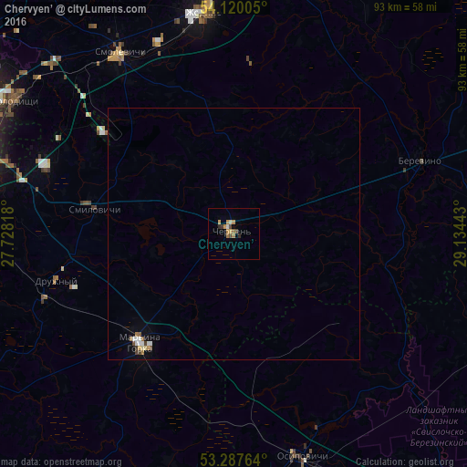
Analysis of Chervyen’ night lights 2016
Square area 10x10 km:
 0%
0%90-99
0.63%80-89
0.51%70-79
2.78%60-69
1.14%50-59
0.51%40-49
1.39%30-39
0.63%20-29
1.01%10-19
0%0-9
91.41%Square area 50x50 km:
0.08%90-99
0.11%80-89
0.07%70-79
0.15%60-69
0.1%50-59
0.07%40-49
0.12%30-39
0.08%20-29
0.04%10-19
0.05%0-9
99.14%Clear (daylight) street map image can be seen on geolist.org.
Map coordinates:
54° 7' 12.2" North, 27° 43' 41.4" East
53° 42' 21.2" North, 28° 25' 52.7" East
53° 17' 15.5" North, 29° 8' 3.9" East
Some cities around Chervyen’ sort by population:
• Horad Zhodzina
44.1 km =27.4 mi,  351°
351°
• Asipovichy
47.1 km =29.3 mi,  163°
163°
• Mar’’ina Horka
28.8 km =17.9 mi,  220°
220°
• Kalodzishchy
50.2 km =31.2 mi,  301°
301°
• Byerazino
39.5 km =24.5 mi,  67°
67°
• Horad Smalyavichy
42 km =26.1 mi,  327°
327°
• Druzhny
36.3 km =22.6 mi,  255°
255°
• Smilavichy
28 km =17.4 mi,  279°
279°
629273 (p: 9,900)
Sources (retrieved 2019-11-25):
» Earth at Night: Flat Maps 2012, 2016