Vyalikaya Byerastavitsa night lights from space
Night Light of Vyalikaya Byerastavitsa (Grodnenskaya) from space (Belarus) Src. Average luminocity for 10x10km area is 0.25% and for 50x50km: 0.096%.
Analysis of Vyalikaya Byerastavitsa night lights 2016
Square area 10x10 km:
 0%
0%90-99
0%80-89
0%70-79
0%60-69
0%50-59
0%40-49
0%30-39
0%20-29
1.01%10-19
0%0-9
98.99%Square area 50x50 km:
0%90-99
0%80-89
0.04%70-79
0.02%60-69
0.02%50-59
0%40-49
0%30-39
0.02%20-29
0.06%10-19
0.02%0-9
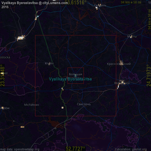
99.81%Clear (daylight) street map image can be seen on geolist.org.
Map coordinates:
53° 36' 54.6" North, 23° 18' 48.5" East
53° 11' 45.6" North, 24° 0' 59.8" East
52° 46' 21.7" North, 24° 43' 11" East
Some cities around Vyalikaya Byerastavitsa sort by population:
• Volkovysk
29.3 km =18.2 mi,  98°
98°
• Sokółka, PL
41.5 km =25.8 mi,  304°
304°
• Mosty
42.2 km =26.2 mi,  55°
55°
• Skidel’
46.5 km =28.9 mi,  19°
19°
• Krasnosel’skiy
28.6 km =17.8 mi,  74°
74°
• Svislach
18.7 km =11.6 mi,  163°
163°
• Ross’
27.6 km =17.1 mi, 69°
• Grudki, PL
25.8 km =16 mi,  244°
244°
629986 (p: 5,900)
Sources (retrieved 2019-11-25):
» Earth at Night: Flat Maps 2012, 2016