Plyeshchanitsy night lights from space
Night Light of Plyeshchanitsy (Minsk) from space (Belarus) Src. Average luminocity for 10x10km area is 0.5311% and for 50x50km: 0.1798%.
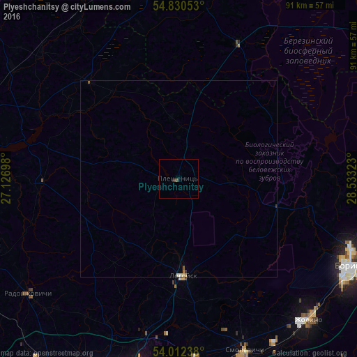
Analysis of Plyeshchanitsy night lights 2016
Square area 10x10 km:
 0%
0%90-99
0%80-89
0%70-79
0%60-69
0%50-59
0%40-49
0.96%30-39
0%20-29
0.48%10-19
0%0-9
98.56%Square area 50x50 km:
0%90-99
0.06%80-89
0.02%70-79
0.02%60-69
0.01%50-59
0.04%40-49
0.04%30-39
0.02%20-29
0.02%10-19
0%0-9
99.75%Clear (daylight) street map image can be seen on geolist.org.
Map coordinates:
54° 49' 49.9" North, 27° 7' 37.1" East
54° 25' 24.6" North, 27° 49' 48.4" East
54° 0' 44.6" North, 28° 31' 59.6" East
Some cities around Plyeshchanitsy sort by population:
• Barysaw
48.9 km =30.4 mi,  116°
116°
• Horad Zhodzina
48.7 km =30.3 mi,  137°
137°
• Lyasny
47.1 km =29.3 mi,  190°
190°
• Horad Smalyavichy
47.4 km =29.5 mi,  159°
159°
• Lahoysk
24.2 km =15 mi,  176°
176°
• Dokshytsy
52.2 km =32.4 mi,  355°
355°
• Radashkovichy
48.5 km =30.1 mi,  232°
232°
• Chyst’
49.9 km =31 mi,  249°
249°
623512 (p: 7,800)
Sources (retrieved 2019-11-25):
» Earth at Night: Flat Maps 2012, 2016