Daugavpils night lights from space
Night Light of Daugavpils (Daugavpils municipality) from space (Latvia) Src. Average luminocity for 10x10km area is 30.9624% and for 50x50km: 1.3669%.
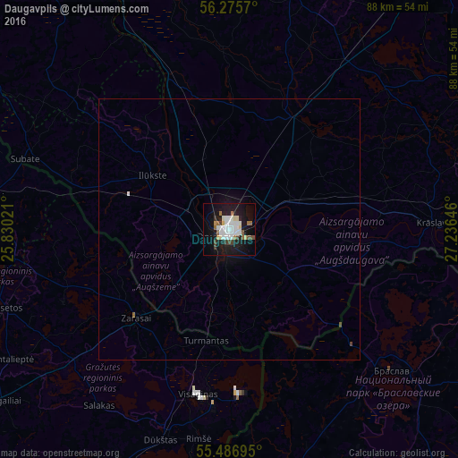
Analysis of Daugavpils night lights 2016
Square area 10x10 km:
 7.27%
7.27%90-99
8.4%80-89
2.26%70-79
1.13%60-69
4.01%50-59
1%40-49
3.38%30-39
2.13%20-29
4.01%10-19
35.59%0-9
30.83%Square area 50x50 km:
0.3%90-99
0.33%80-89
0.09%70-79
0.04%60-69
0.18%50-59
0.04%40-49
0.17%30-39
0.08%20-29
0.16%10-19
1.59%0-9
97.03%Clear (daylight) street map image can be seen on geolist.org.
Map coordinates:
56° 16' 32.5" North, 25° 49' 48.8" East
55° 52' 60" North, 26° 31' 60" East
55° 29' 13" North, 27° 14' 11.3" East
Some cities around Daugavpils sort by population:
• Visaginas, LT
32.4 km =20.1 mi,  190°
190°
• Braslaw, BY
41.7 km =25.9 mi,  130°
130°
• Krāslava
39.6 km =24.6 mi,  88°
88°
• Preiļi
47.2 km =29.3 mi,  14°
14°
• Zarasai, LT
24.4 km =15.2 mi,  226°
226°
• Ilūkste
18.1 km =11.2 mi,  305°
305°
• Aglona
40.4 km =25.1 mi,  46°
46°
• Vecvārkava
35.1 km =21.8 mi,  357°
357°
460413 (p: 111,564)
Sources (retrieved 2019-11-25):
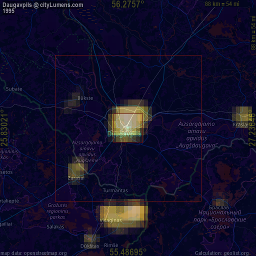
» NASA, Earths city lights 1995
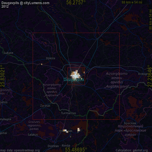
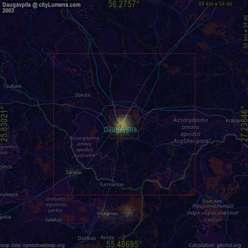
» NASA city lights 2003
» Earth at Night: Flat Maps 2012, 2016