Zarasai night lights from space
Night Light of Zarasai (Utena) from space (Lithuania) Src. Average luminocity for 10x10km area is 0.3278% and for 50x50km: 1.6299%.
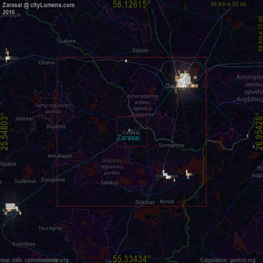
Analysis of Zarasai night lights 2016
Square area 10x10 km:
 0%
0%90-99
0%80-89
0%70-79
0%60-69
0.48%50-59
0%40-49
0%30-39
0%20-29
0%10-19
0%0-9
99.52%Square area 50x50 km:
0.37%90-99
0.4%80-89
0.12%70-79
0.08%60-69
0.19%50-59
0.06%40-49
0.13%30-39
0.1%20-29
0.17%10-19
1.59%0-9
96.79%Clear (daylight) street map image can be seen on geolist.org.
Map coordinates:
56° 7' 34.1" North, 25° 32' 52.9" East
55° 43' 56.1" North, 26° 15' 4.1" East
55° 20' 3.6" North, 26° 57' 15.4" East
Some cities around Zarasai sort by population:
• Daugavpils, LV
24.4 km =15.2 mi,  46°
46°
• Utena
48.5 km =30.1 mi,  237°
237°
• Visaginas
19.2 km =11.9 mi,  141°
141°
• Rokiškis
48.1 km =29.9 mi,  301°
301°
• Braslaw, BY
50.6 km =31.4 mi,  101°
101°
• Ignalina
43.9 km =27.3 mi,  187°
187°
• Ilūkste, LV
27.4 km =17 mi,  5°
5°
• Vecvārkava, LV
54.2 km =33.7 mi,  17°
17°
592891 (p: 8,095)
Sources (retrieved 2019-11-25):
» Earth at Night: Flat Maps 2012, 2016