Masons Bay night lights from space
Night Light of Masons Bay (Acklins) from space (Bahamas) Src. Average luminocity for 10x10km area is 0% and for 50x50km: 0%.
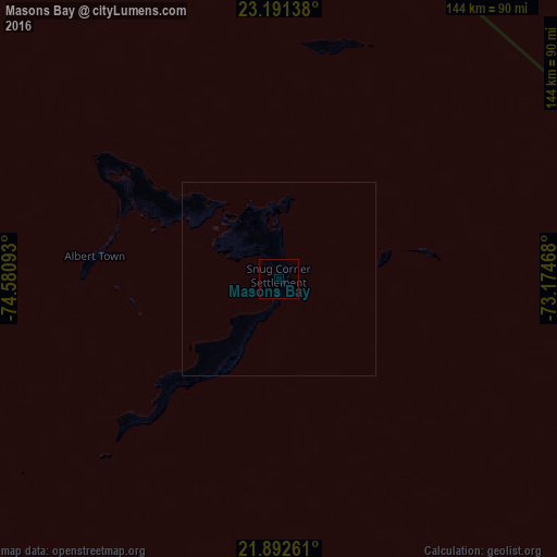
Analysis of Masons Bay night lights 2016
Square area 10x10 km:
 0%
0%90-99
0%80-89
0%70-79
0%60-69
0%50-59
0%40-49
0%30-39
0%20-29
0%10-19
0%0-9
100%Square area 50x50 km:
0%90-99
0%80-89
0%70-79
0%60-69
0%50-59
0%40-49
0%30-39
0%20-29
0%10-19
0%0-9
100%Clear (daylight) street map image can be seen on geolist.org.
Map coordinates:
23° 11' 29" North, 74° 34' 51.3" West
22° 32' 36.7" North, 73° 52' 40.1" West
21° 53' 33.4" North, 73° 10' 28.8" West
Some cities around Masons Bay sort by population:
• George Town
223.3 km =138.8 mi,  298°
298°
• Clarence Town
129.1 km =80.2 mi, 298°
• Cockburn Town
180.5 km =112.2 mi,  338°
338°
• Matthew Town
178.5 km =110.9 mi,  173°
173°
• Colonel Hill
40.9 km =25.4 mi,  305°
305°
• Abraham’s Bay
95.7 km =59.5 mi,  101°
101°
• Port Nelson
157.6 km =97.9 mi,  321°
321°
• Duncan Town
194 km =120.5 mi,  258°
258°
3571908 (p: 0)
Sources (retrieved 2019-11-25):
» Earth at Night: Flat Maps 2012, 2016