Cockburn Town night lights from space
Night Light of Cockburn Town (San Salvador) from space (Bahamas) Src. Average luminocity for 10x10km area is 2.0057% and for 50x50km: 0.0911%.
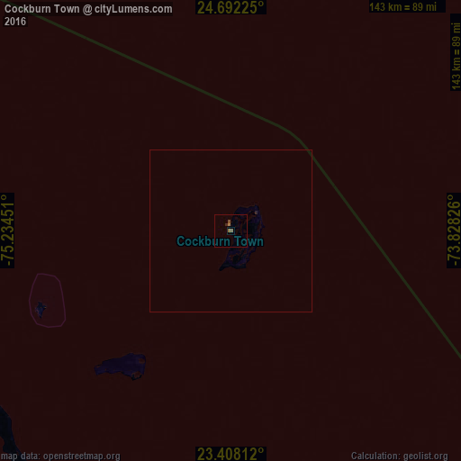
Analysis of Cockburn Town night lights 2016
Square area 10x10 km:
 0%
0%90-99
0%80-89
0%70-79
0%60-69
0.76%50-59
1.33%40-49
0.95%30-39
0%20-29
0.76%10-19
0%0-9
96.21%Square area 50x50 km:
0%90-99
0%80-89
0%70-79
0%60-69
0.03%50-59
0.05%40-49
0.04%30-39
0%20-29
0.06%10-19
0%0-9
99.81%Clear (daylight) street map image can be seen on geolist.org.
Map coordinates:
24° 41' 32.1" North, 75° 14' 4.2" West
24° 3' 6.4" North, 74° 31' 53" West
23° 24' 29.2" North, 73° 49' 41.7" West
Some cities around Cockburn Town sort by population:
• George Town
140.9 km =87.6 mi,  244°
244°
• Clarence Town
115.4 km =71.7 mi,  203°
203°
• Arthur’s Town
131.8 km =81.9 mi,  298°
298°
• Colonel Hill
148.1 km =92 mi,  166°
166°
• Port Nelson
54.7 km =34 mi,  215°
215°
• Governor’s Harbour
212.1 km =131.8 mi,  305°
305°
• Black Point
188.1 km =116.9 mi,  271°
271°
• Masons Bay
180.5 km =112.2 mi,  158°
158°
3572627 (p: 831)
Sources (retrieved 2019-11-25):
» Earth at Night: Flat Maps 2012, 2016