Abraham’s Bay night lights from space
Night Light of Abraham’s Bay (Mayaguana) from space (Bahamas) Src. Average luminocity for 10x10km area is 0% and for 50x50km: 0%.
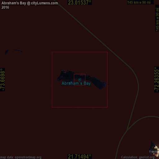
Analysis of Abraham’s Bay night lights 2016
Square area 10x10 km:
 0%
0%90-99
0%80-89
0%70-79
0%60-69
0%50-59
0%40-49
0%30-39
0%20-29
0%10-19
0%0-9
100%Square area 50x50 km:
0%90-99
0%80-89
0%70-79
0%60-69
0%50-59
0%40-49
0%30-39
0%20-29
0%10-19
0%0-9
100%Clear (daylight) street map image can be seen on geolist.org.
Map coordinates:
23° 0' 55.3" North, 73° 40' 11.3" West
22° 22' 0" North, 72° 58' 0" West
21° 42' 53.8" North, 72° 15' 48.8" West
Some cities around Abraham’s Bay sort by population:
• Maisí, CU
265.8 km =165.2 mi,  207°
207°
• Cockburn Town, TC
213.5 km =132.7 mi,  118°
118°
• Clarence Town
222.3 km =138.1 mi,  291°
291°
• Cockburn Town
246.3 km =153 mi,  319°
319°
• Matthew Town
173.6 km =107.9 mi,  204°
204°
• Colonel Hill
134.2 km =83.4 mi, 288°
• Port Nelson
239.1 km =148.6 mi,  306°
306°
• Masons Bay
95.7 km =59.5 mi,  281°
281°
3572940 (p: 235)
Sources (retrieved 2019-11-25):
» Earth at Night: Flat Maps 2012, 2016