Matthew Town night lights from space
Night Light of Matthew Town (Inagua) from space (Bahamas) Src. Average luminocity for 10x10km area is 2.2282% and for 50x50km: 0.1415%.
Analysis of Matthew Town night lights 2016
Square area 10x10 km:
 0%
0%90-99
0%80-89
0.79%70-79
0.79%60-69
0.79%50-59
0%40-49
0%30-39
0.79%20-29
0%10-19
0%0-9
96.83%Square area 50x50 km:
0%90-99
0%80-89
0.06%70-79
0.03%60-69
0.03%50-59
0%40-49
0%30-39
0.08%20-29
0.02%10-19
0%0-9
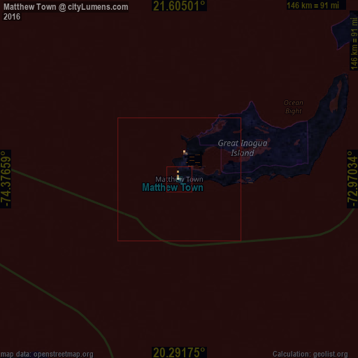
99.77%Clear (daylight) street map image can be seen on geolist.org.
Map coordinates:
21° 36' 18" North, 74° 22' 35.7" West
20° 56' 59.4" North, 73° 40' 24.5" West
20° 17' 30.3" North, 72° 58' 13.2" West
Some cities around Matthew Town sort by population:
• Port-de-Paix, HT
142.6 km =88.6 mi,  141°
141°
• Moa, CU
136.7 km =84.9 mi,  256°
256°
• Baracoa, CU
108.7 km =67.5 mi,  231°
231°
• Ti Port-de-Paix, HT
143 km =88.9 mi, 142°
• Maisí, CU
92.7 km =57.6 mi,  212°
212°
• Río Guayabal de Yateras, CU
154.1 km =95.8 mi,  245°
245°
• Saint-Louis du Nord, HT
150.3 km =93.4 mi, 138°
• Jean-Rabel, HT
131.8 km =81.9 mi,  157°
157°
3571898 (p: 452)
Sources (retrieved 2019-11-25):
» Earth at Night: Flat Maps 2012, 2016