Clarence Town night lights from space
Night Light of Clarence Town (Long Island) from space (Bahamas) Src. Average luminocity for 10x10km area is 0.2689% and for 50x50km: 0.022%.
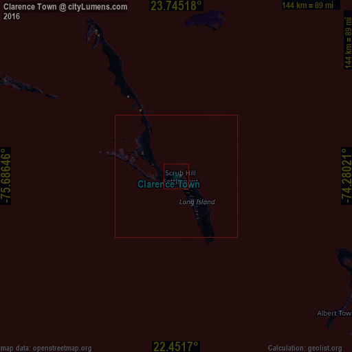
Analysis of Clarence Town night lights 2016
Square area 10x10 km:
 0%
0%90-99
0%80-89
0%70-79
0%60-69
0%50-59
0%40-49
0%30-39
0%20-29
0.76%10-19
0%0-9
99.24%Square area 50x50 km:
0%90-99
0%80-89
0%70-79
0%60-69
0%50-59
0%40-49
0%30-39
0%20-29
0.06%10-19
0%0-9
99.94%Clear (daylight) street map image can be seen on geolist.org.
Map coordinates:
23° 44' 42.6" North, 75° 41' 11.3" West
23° 6' 0" North, 74° 58' 60" West
22° 27' 6.1" North, 74° 16' 48.8" West
Some cities around Clarence Town sort by population:
• George Town
94.2 km =58.5 mi,  299°
299°
• Arthur’s Town
183.2 km =113.8 mi,  337°
337°
• Cockburn Town
115.4 km =71.7 mi,  23°
23°
• Colonel Hill
88.6 km =55.1 mi,  115°
115°
• Port Nelson
62.8 km =39 mi,  13°
13°
• Duncan Town
126.6 km =78.7 mi,  217°
217°
• Black Point
180.9 km =112.4 mi,  307°
307°
• Masons Bay
129.1 km =80.2 mi, 118°
3572640 (p: 1,752)
Sources (retrieved 2019-11-25):
» Earth at Night: Flat Maps 2012, 2016