Colonel Hill night lights from space
Night Light of Colonel Hill (Crooked Island and Long Cay) from space (Bahamas) Src. Average luminocity for 10x10km area is 0% and for 50x50km: 0%.
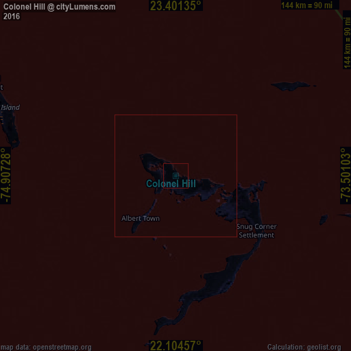
Analysis of Colonel Hill night lights 2016
Square area 10x10 km:
 0%
0%90-99
0%80-89
0%70-79
0%60-69
0%50-59
0%40-49
0%30-39
0%20-29
0%10-19
0%0-9
100%Square area 50x50 km:
0%90-99
0%80-89
0%70-79
0%60-69
0%50-59
0%40-49
0%30-39
0%20-29
0%10-19
0%0-9
100%Clear (daylight) street map image can be seen on geolist.org.
Map coordinates:
23° 24' 4.9" North, 74° 54' 26.2" West
22° 45' 16.2" North, 74° 12' 14.9" West
22° 6' 16.5" North, 73° 30' 3.7" West
Some cities around Colonel Hill sort by population:
• George Town
182.6 km =113.5 mi,  297°
297°
• Clarence Town
88.6 km =55.1 mi, 295°
• Cockburn Town
148.1 km =92 mi,  346°
346°
• Matthew Town
208 km =129.2 mi,  164°
164°
• Abraham’s Bay
134.2 km =83.4 mi,  108°
108°
• Port Nelson
119 km =73.9 mi,  326°
326°
• Duncan Town
168.4 km =104.6 mi,  248°
248°
• Masons Bay
40.9 km =25.4 mi,  125°
125°
3572620 (p: 240)
Sources (retrieved 2019-11-25):
» Earth at Night: Flat Maps 2012, 2016